


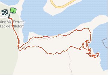

25 km | 36 km-effort


Usuario


Aplicación GPS de excursión GRATIS
 SityTrail
IGN / Institutos geográficos
SityTrail World
El mundo es suyo
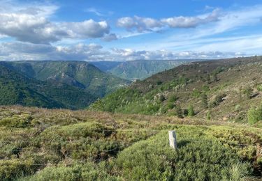
Ruta Vía ferrata de 2,1 km a descubrir en Occitania, Lozère, Pourcharesses. Esta ruta ha sido propuesta por patetl.
vf superbe par sa situation au dessus du lac. au choix de chacun parcours facile et difficile, belle tyrolienne.
Senderismo
Senderismo
Senderismo
Senderismo

Senderismo
Senderismo
Senderismo

Senderismo

Senderismo