


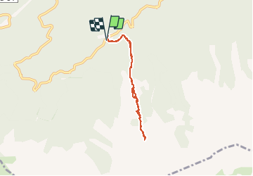

9,8 km | 17,6 km-effort


Usuario


Aplicación GPS de excursión GRATIS
 SityTrail
IGN / Institutos geográficos
SityTrail World
El mundo es suyo
Ruta Senderismo de 6,2 km a descubrir en Córcega, Alta Córcega, Albertacce. Esta ruta ha sido propuesta por jps13.
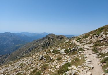
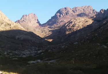
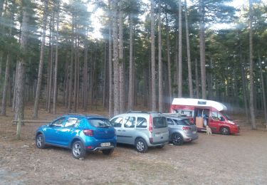
Montée à l’aller, descente au retour, plus raide vers le sommet. Avec Paule et Jef, donc rythme lent à l’aller.
Senderismo
Senderismo
Senderismo
Otra actividad

Senderismo
Senderismo
Senderismo
Senderismo
Senderismo