


7,9 km | 9,8 km-effort

Destination Condroz-Famenne- une nature préservée PRO


Aplicación GPS de excursión GRATIS
 SityTrail
IGN / Institutos geográficos
SityTrail World
El mundo es suyo
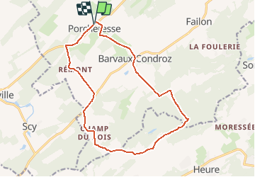
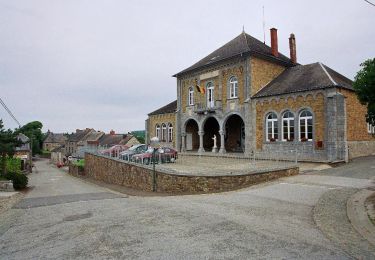
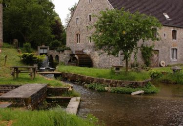
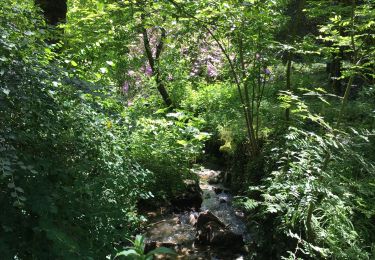
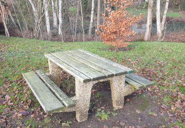
Ruta Senderismo de 14,8 km a descubrir en Valonia, Namur, Havelange. Esta ruta ha sido propuesta por Vallées des Saveurs - Maison du Tourisme Condroz-Famenne.
Les incontournables:
- Cinq Tilleuls
- Champs du Bois
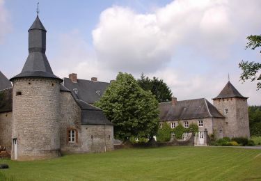
- Ramezée
- Aire de repos et pique-nique


Senderismo

Senderismo
Senderismo
Senderismo

Senderismo
Senderismo
Senderismo

A pie

A pie