


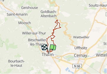


33 km | 64 km-effort

Usuario


Aplicación GPS de excursión GRATIS
 SityTrail
IGN / Institutos geográficos
SityTrail World
El mundo es suyo
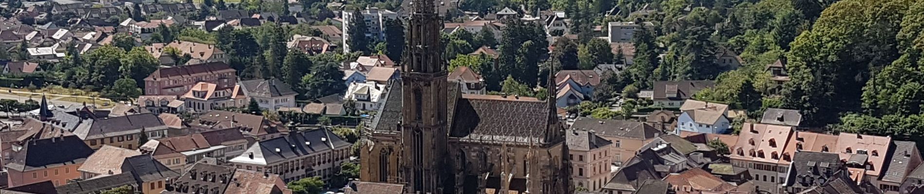
Ruta Senderismo de 23 km a descubrir en Gran Este, Alto Rin, Thann. Esta ruta ha sido propuesta por Bart2015.
Belle balade, passage impératif au rocher d'Ostein : banc romantique avec vue sur Grand Ballon.
Bonne randonnée


32 fotos en total. Haga clic en una foto para mostrarlas todas en la galería.

Otra actividad

Senderismo

Senderismo

Senderismo

A pie
Senderismo

Senderismo

Bici eléctrica

Senderismo