


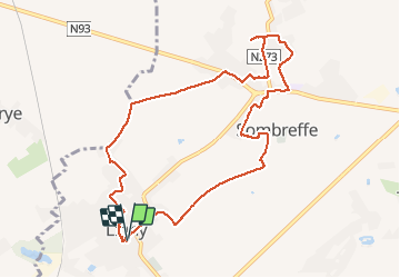

12,9 km | 15,4 km-effort

Usuario GUIDE


Aplicación GPS de excursión GRATIS
 SityTrail
IGN / Institutos geográficos
SityTrail World
El mundo es suyo
Ruta Senderismo de 9,3 km a descubrir en Valonia, Namur, Sombreffe. Esta ruta ha sido propuesta por Desrumaux.
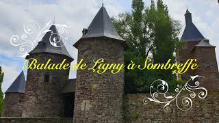
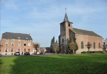
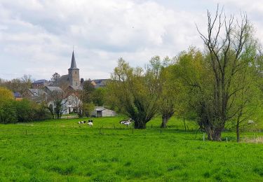
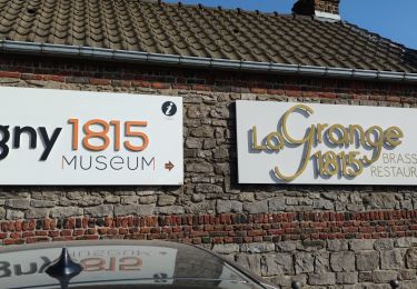
Balade campagnarde autour des villages de Ligny et Sombreffe avec la possibilité de visiter le museum 1815 de Ligny et de découvrir le château féodal de Sombreffe.
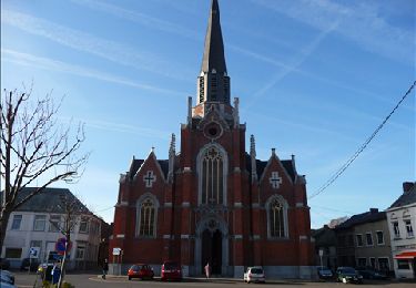
Départ: église de Ligny


Senderismo
Senderismo
Bici de montaña
Bici de montaña

Senderismo
Senderismo

Senderismo
Senderismo
Senderismo