


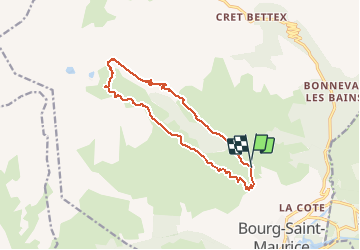

14,1 km | 24 km-effort


Usuario


Aplicación GPS de excursión GRATIS
 SityTrail
IGN / Institutos geográficos
SityTrail World
El mundo es suyo
Ruta Senderismo de 14,3 km a descubrir en Auvergne-Rhône-Alpes, Saboya, Bourg-Saint-Maurice. Esta ruta ha sido propuesta por franquen.
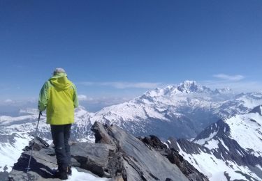
rando rendue difficile à cause de l’extrême chaleur. il est préférable de démarrer du fort de la Platte qu'on peut atteindre en voiture. Accueil pittoresque et chaleureux au fort tenu par une famille d'éleveur.

Senderismo
Esquí de fondo
Esquí de fondo
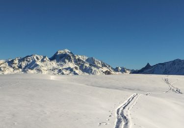
Esquí de fondo
Esquí de fondo
Esquí de fondo
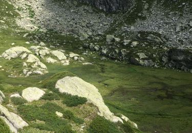
Senderismo
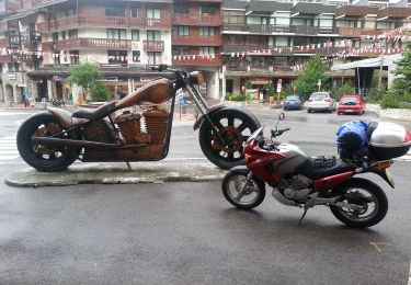
Moto

Senderismo