![](/images/other/stat-length.png)
![Excursión Senderismo Lavelanet - Camping Village des Bons-Hommes pour balade-grillade - Photo](https://media.geolcdn.com/t/1900/400/e5db2f0d-f510-4eba-beea-b49938a14807.jpg&format=pjpeg&maxdim=2)
Camping Village des Bons-Hommes pour balade-grillade
jopost
Usuario
![Longitud](/images/other/stat-length.png)
![Altitud máxima](https://static1.geolcdn.com/siteimages/upload/files/1508320355ic_sort_altitude_max_24dp.png)
![Desnivel positivo](https://static1.geolcdn.com/siteimages/upload/files/1508320355ic_sort_den_pos_24dp.png)
![Km-Effort](/images/other/stat-length.png)
![Altitud mínima](https://static1.geolcdn.com/siteimages/upload/files/1508320355ic_sort_altitude_min_24dp.png)
![Desnivel negativo](https://static1.geolcdn.com/siteimages/upload/files/1508320355ic_sort_den_neg_24dp.png)
![Boucle](https://static1.geolcdn.com/siteimages/upload/files/16400158638029165_repeat_loop_refresh_sync_direction_icon.png)
![Senderismo](https://static1.geolcdn.com/sitytour/trail-icons/101.png)
2h14
Dificultad : Muy fácil
![Escanee este código QR para abrir la excursión en la aplicación SityTrail](https://capi.geolives.com/qq0zvz2zws4bq2lad0pu/sitytour/trails/2483586/qr.png?size=200)
Aplicación GPS de excursión GRATIS
A propósito
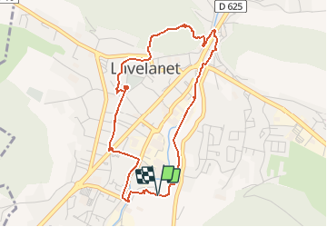
Ruta Senderismo de 4,8 km a descubrir en Occitania, Ariège, Lavelanet. Esta ruta ha sido propuesta por jopost.
Descripción
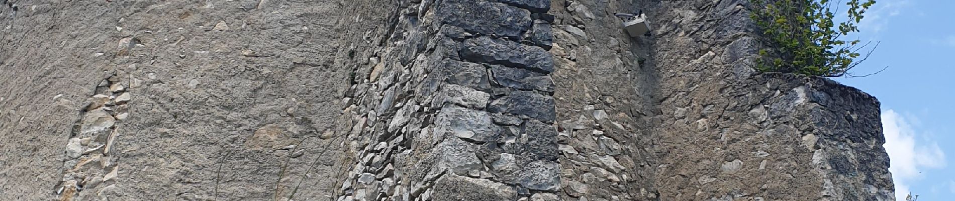
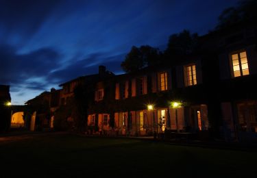
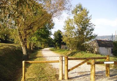
Voici une balade depuis le Camping Village des Bons-Hommes vers le centre-ville , la passerelle des Sécoustous, l'esplanade puis montée vers le site de l'ancienne chapelle de Ste Rufine. Repas dans le sac au sommet avec grillade, redescente vers le Faubourg de Bensa, visite de la chapelle et retour. Partis à 12h30, repas vers 14h30 retour vers 16h30. 4,8km
Localización
Comentarios
Excursiones cerca
![Senderismo Senderismo](https://static1.geolcdn.com/sitytour/trail-icons/101.png)
Senderismo
![](/images/other/stat-length.png)
![](https://static1.geolcdn.com/siteimages/upload/files/16400158638029165_repeat_loop_refresh_sync_direction_icon.png)
![Excursión Bici eléctrica Lavelanet - Lavelanet Ste Colombe lac Montbel retour Laroque - Photo](https://media.geolcdn.com/t/375/260/4c93721d-d109-4910-92f4-e8bb9c7e7c78.jpg&format=jpg&maxdim=2)
![Bici eléctrica Bici eléctrica](https://static1.geolcdn.com/sitytour/trail-icons/205.png)
Bici eléctrica
![](/images/other/stat-length.png)
![](https://static1.geolcdn.com/siteimages/upload/files/16400158638029165_repeat_loop_refresh_sync_direction_icon.png)
![Excursión Senderismo Fougax-et-Barrineuf - cols du figuier et de Ballussou et croix de Morenci depuis Fougax 09 - Photo](https://media.geolcdn.com/t/375/260/49cdc21a-424f-41fd-8f3c-bcebcf821473.jpg&format=jpg&maxdim=2)
![Senderismo Senderismo](https://static1.geolcdn.com/sitytour/trail-icons/101.png)
Senderismo
![](/images/other/stat-length.png)
![](https://static1.geolcdn.com/siteimages/upload/files/16400158638029165_repeat_loop_refresh_sync_direction_icon.png)
![Excursión A pie Laroque-d'Olmes - Les Crètes du Plantaurel - Photo](https://media.geolcdn.com/t/375/260/351d3df0-db43-4496-bddc-a1fbb4c22e2a.jpeg&format=jpg&maxdim=2)
![A pie A pie](https://static1.geolcdn.com/sitytour/trail-icons/100.png)
A pie
![](/images/other/stat-length.png)
![](https://static1.geolcdn.com/siteimages/upload/files/16400158638029165_repeat_loop_refresh_sync_direction_icon.png)
![Excursión Senderismo Montferrier - découverte du château de montsegur et du village par montferroer - Photo](https://media.geolcdn.com/t/375/260/dbb91943-13a6-421f-97eb-22e28af831f5.jpg&format=jpg&maxdim=2)
![Senderismo Senderismo](https://static1.geolcdn.com/sitytour/trail-icons/101.png)
Senderismo
![](/images/other/stat-length.png)
![](https://static1.geolcdn.com/siteimages/upload/files/16400158638029165_repeat_loop_refresh_sync_direction_icon.png)
![Excursión Senderismo Lavelanet - BOUCLE Ste Rufine, Raissac, Péreille d'en Bas et Haut, retour Cambière Bensa - Photo](https://media.geolcdn.com/t/375/260/ext.jpg?maxdim=2&url=https%3A%2F%2Fservices.sitytrail.com%2FGeolivesWS%2FDownloadMedia.ashx%3FTrailID%3D816622%26Media%3Dfix__20170824122820.jpg)
![Senderismo Senderismo](https://static1.geolcdn.com/sitytour/trail-icons/101.png)
Senderismo
![](/images/other/stat-length.png)
![](https://static1.geolcdn.com/siteimages/upload/files/16400158638029165_repeat_loop_refresh_sync_direction_icon.png)
![Excursión Senderismo Lavelanet - boucle soula le bac - Photo](https://media.geolcdn.com/t/375/260/ext.jpg?maxdim=2&url=https%3A%2F%2Fservices.sitytrail.com%2FGeolivesWS%2FDownloadMedia.ashx%3FTrailID%3D693479%26Media%3Dfix__20170131140313.jpg)
![Senderismo Senderismo](https://static1.geolcdn.com/sitytour/trail-icons/101.png)
Senderismo
![](/images/other/stat-length.png)
![](https://static1.geolcdn.com/siteimages/upload/files/16400158638029165_repeat_loop_refresh_sync_direction_icon.png)
![Excursión Senderismo Lavelanet - Tour de Péreille - Photo](https://media.geolcdn.com/t/375/260/ext.jpg?maxdim=2&url=https%3A%2F%2Fservices.sitytrail.com%2FGeolivesWS%2FDownloadMedia.ashx%3FTrailID%3D178073%26Media%3D20130304145920.jpg)
![Senderismo Senderismo](https://static1.geolcdn.com/sitytour/trail-icons/101.png)
Senderismo
![](/images/other/stat-length.png)
![](https://static1.geolcdn.com/siteimages/upload/files/16400158638029165_repeat_loop_refresh_sync_direction_icon.png)
![Excursión Senderismo Lavelanet - Lavelanet Belesta Ivry - Photo](https://media.geolcdn.com/t/375/260/ext.jpg?maxdim=2&url=https%3A%2F%2Fservices.sitytrail.com%2FGeolivesWS%2FDownloadMedia.ashx%3FTrailID%3D177799%26Media%3Da5a77ac9-1776-4df8-bf26-4fb433b2c134.jpg)
![Senderismo Senderismo](https://static1.geolcdn.com/sitytour/trail-icons/101.png)
Senderismo
![](/images/other/stat-length.png)
![](https://static1.geolcdn.com/siteimages/upload/files/16400158638029165_repeat_loop_refresh_sync_direction_icon.png)