


10,3 km | 16,8 km-effort

Usuario


Aplicación GPS de excursión GRATIS
 SityTrail
IGN / Institutos geográficos
SityTrail World
El mundo es suyo
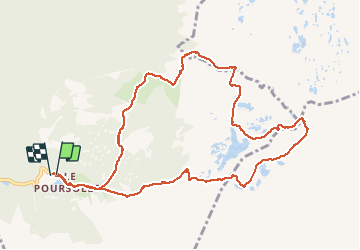
Ruta Senderismo de 11,9 km a descubrir en Auvergne-Rhône-Alpes, Isère, Livet-et-Gavet. Esta ruta ha sido propuesta por GuyVachet.
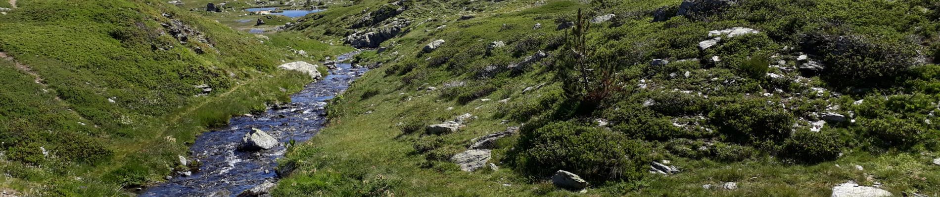
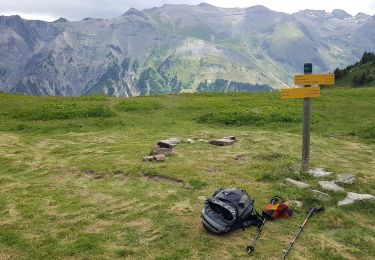
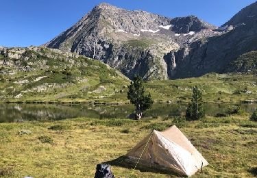
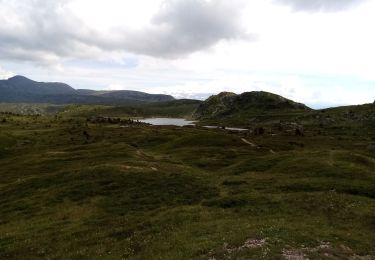
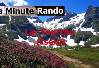
Boucle au pied du Taillefer en passant par le plateau des lacs et le Lac Fourchu. La montée par le GR50 au plateau permet de découvrir une demi-douzaine de petits lacs (couleurs magiques en automne) jusqu'au Pas de l'Envious. A partir de là, descente au bien connu Lac Fourchu puis le Lac Canard et les chalets de la Barrière. Le passage dans le Pré d'Ornon est plus sympathique que la piste pour retrouver le chemin de l'aller après les Sagnes.


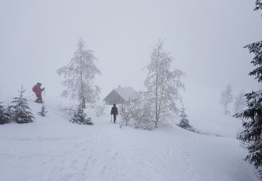
Raquetas de nieve
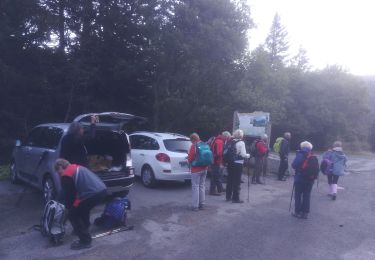
Senderismo

Senderismo
Senderismo
A pie
A pie
Senderismo

Senderismo
Senderismo