


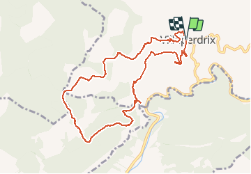

11,2 km | 19,6 km-effort


Usuario


Aplicación GPS de excursión GRATIS
 SityTrail
IGN / Institutos geográficos
SityTrail World
El mundo es suyo
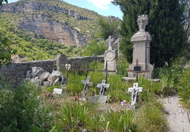
Ruta Senderismo de 10,8 km a descubrir en Auvergne-Rhône-Alpes, Drôme, Villeperdrix. Esta ruta ha sido propuesta por yjguerin.
Fait avec deux enfants de 10 et 7 ans. Un peu long. Attention la descente entre les km 5.2 et 5.5 est un peu raide et pas balisée.

Senderismo
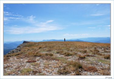
Senderismo
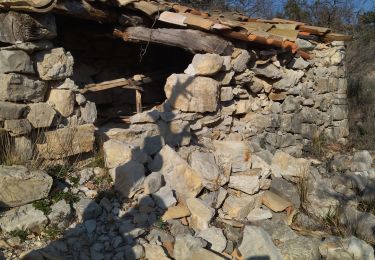
Senderismo
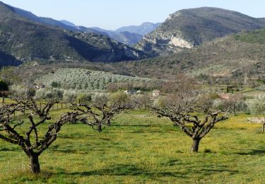
Senderismo

Senderismo

Senderismo
Senderismo

Senderismo
Senderismo