


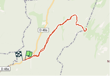

10,6 km | 16,9 km-effort


Usuario


Aplicación GPS de excursión GRATIS
 SityTrail
IGN / Institutos geográficos
SityTrail World
El mundo es suyo
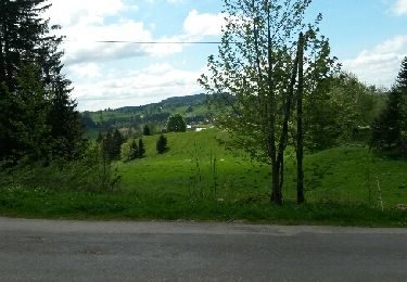
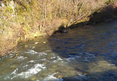
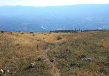
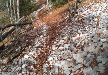
Ruta Senderismo de 9,3 km a descubrir en Auvergne-Rhône-Alpes, Ain, Champfromier. Esta ruta ha sido propuesta por margotte.
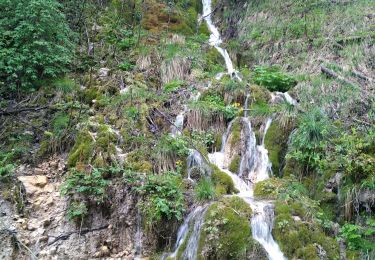
Pratiquement toute la rando en sous bois. Les marches pour accéder au sommet sont plutôt casse pattes!! Beau point de vue sur Jura et Alpes...mt blanc.

Senderismo
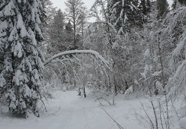
Raquetas de nieve
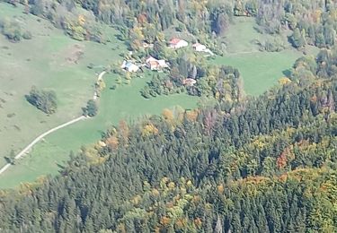
Senderismo
Senderismo

Raquetas de nieve
Senderismo
Senderismo
Senderismo