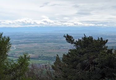
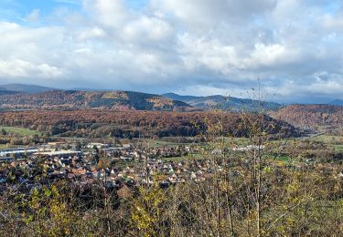
14,9 km | 21 km-effort
Floessplatz-Hohbuhl Toussaint
Domlouise
Usuario
Longitud
26 km
Altitud máxima
856 m
Desnivel positivo
941 m
Km-Effort
39 km
Altitud mínima
229 m
Desnivel negativo
940 m
Boucle
Sí
Fecha de creación :
2020-07-04 13:52:24.212
Última modificación :
2020-07-04 13:53:31.559
4h42
Dificultad : Difícil
Aplicación GPS de excursión GRATIS
A propósito
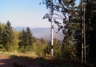
Ruta Paseo ecuestre de 26 km a descubrir en Gran Este, Bajo-Rin, Mollkirch. Esta ruta ha sido propuesta por Domlouise.
Localización
País:
France
Región :
Gran Este
Departamento/provincia :
Bajo-Rin
Municipio :
Mollkirch
Localidad:
Unknown
Salida:(Dec)
Salida:(UTM)
379209 ; 5375107 (32U) N.
Comentarios
Excursiones cerca
Cascade Soultzbach - Urmatt
Senderismo
Muy difícil
(1)
Urmatt,
Gran Este,
Bajo-Rin,
France
4h 46min
Sí
Neufeld Boucle Elmersforst
Paseo ecuestre
Difícil
(1)
Oberhaslach,
Gran Este,
Bajo-Rin,
France
31 km | 42 km-effort
5h 9min
Sí
Guirbaden - Grendelbruch
Bici de montaña
Difícil
(1)
Niederhaslach,
Gran Este,
Bajo-Rin,
France
26 km | 35 km-effort
2h 30min
No
Les Grandes Manoeuvres
Bici de montaña
Muy difícil
(1)
Dinsheim-sur-Bruche,
Gran Este,
Bajo-Rin,
France
45 km | 59 km-effort
4h 0min
Sí
Rando des Feuilles Mortes
Bici de montaña
Medio
(2)
Oberhaslach,
Gran Este,
Bajo-Rin,
France
29 km | 41 km-effort
2h 0min
Sí
suuntoapp-HorsebackRiding-2024-10-13T07-08-28Z
Paseo ecuestre
Medio
Rosenwiller,
Gran Este,
Bajo-Rin,
France
35 km | 44 km-effort
5h 46min
Sí
suuntoapp-HorsebackRiding-2024-04-28T06-24-49Z
Paseo ecuestre
Difícil
Mollkirch,
Gran Este,
Bajo-Rin,
France
34 km | 48 km-effort
6h 20min
Sí
2024-02-07_22h30m09_B3
Senderismo
Medio
(1)
Still,
Gran Este,
Bajo-Rin,
France
16,8 km | 22 km-effort
4h 56min
Sí
suuntoapp-HorsebackRiding-2023-11-19T08-04-16Z
Paseo ecuestre
Fácil
Gresswiller,
Gran Este,
Bajo-Rin,
France
28 km | 36 km-effort
4h 45min
Sí