


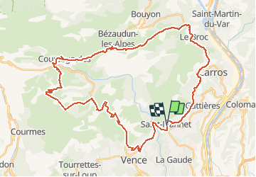

7,5 km | 13,4 km-effort


Usuario


Aplicación GPS de excursión GRATIS
 SityTrail
IGN / Institutos geográficos
SityTrail World
El mundo es suyo
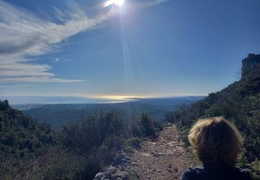
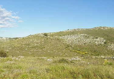
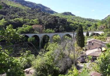
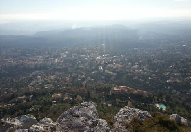
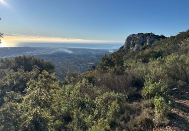
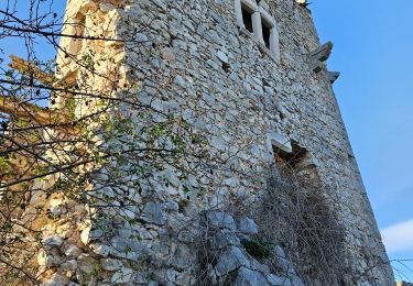
Ruta Bici eléctrica de 49 km a descubrir en Provenza-Alpes-Costa Azul, Alpes Marítimos, Saint-Jeannet. Esta ruta ha sido propuesta por franquen.
rando sympa . un gros effort pour atteibdre le col de Vence puis alternance de chemin de terre et route
Senderismo
A pie
A pie

A pie
A pie
Senderismo
Senderismo
Senderismo
Senderismo