


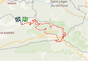


19,1 km | 30 km-effort

Usuario GUIDE

Aplicación GPS de excursión GRATIS
 SityTrail
IGN / Institutos geográficos
SityTrail World
El mundo es suyo
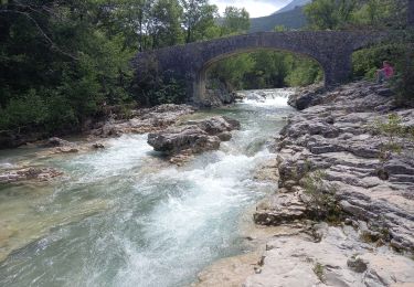
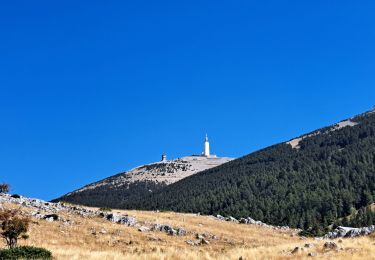
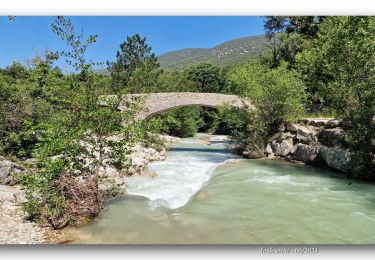
Ruta Senderismo de 24 km a descubrir en Provenza-Alpes-Costa Azul, Vaucluse, Beaumont-du-Ventoux. Esta ruta ha sido propuesta por nadinebondoux.
Depart le plan (Beaumont du Ventoux) , montée progressive bien ombragée jusqu'au sommet du Ventoux .Magnifique rando en boucle 23 kms/ environ 1400m de dénivellé positif


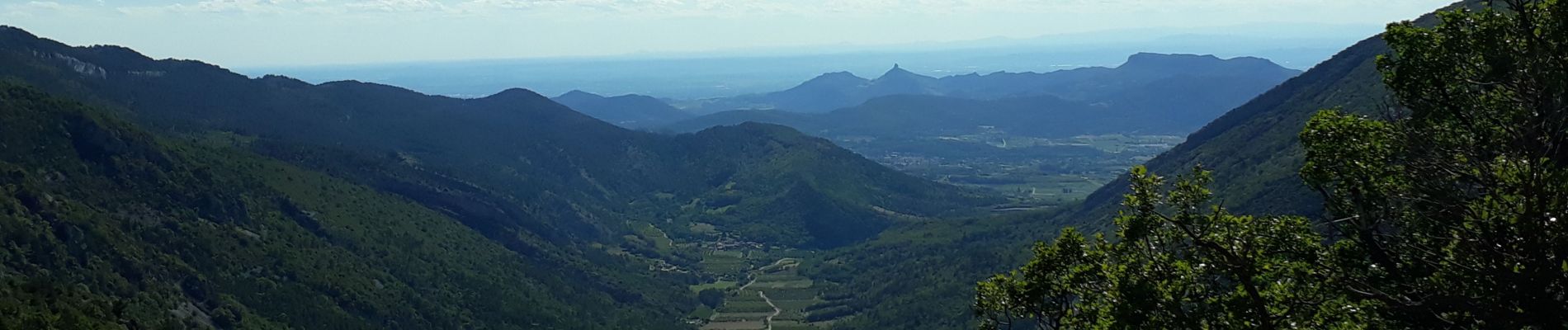
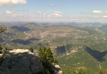
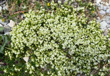
28 fotos en total. Haga clic en una foto para mostrarlas todas en la galería.

Senderismo

Senderismo

Senderismo
Senderismo

Senderismo
Senderismo
Senderismo
Senderismo
Senderismo