


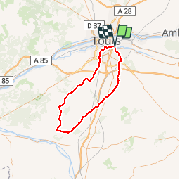

8,2 km | 9,6 km-effort


Usuario


Aplicación GPS de excursión GRATIS
 SityTrail
IGN / Institutos geográficos
SityTrail World
El mundo es suyo
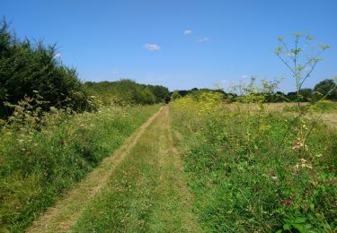
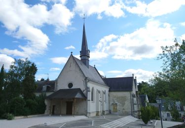
Ruta Bicicleta de 77 km a descubrir en Centro, Indre y Loira, Saint-Avertin. Esta ruta ha sido propuesta por bblouis.
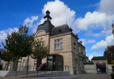
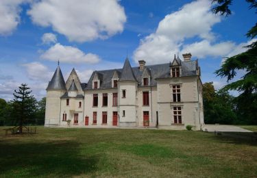
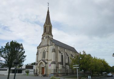
Saint AvertinVeignéSorignyVilleperdueSaint EpainCrissay sur ManseNeuilSachePont de RuanArtannesMontsJoue Saint Avertin
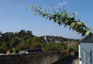
Senderismo
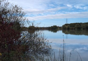
Senderismo
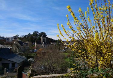
Senderismo
Senderismo
Senderismo
Senderismo
Senderismo
Senderismo
Senderismo