


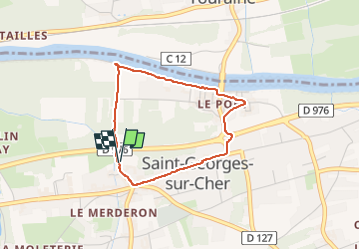

17,8 km | 22 km-effort


Usuario GUIDE


Aplicación GPS de excursión GRATIS
 SityTrail
IGN / Institutos geográficos
SityTrail World
El mundo es suyo
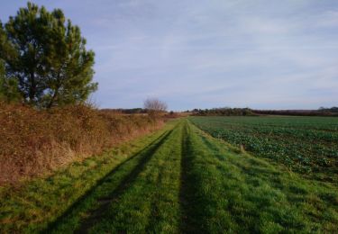
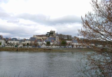
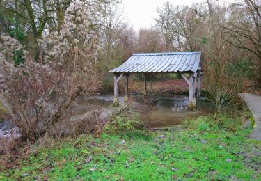
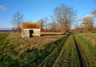
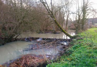
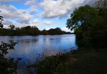
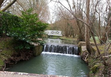
Ruta Senderismo de 2,9 km a descubrir en Centro, Loir y Cher, Saint-Georges-sur-Cher. Esta ruta ha sido propuesta por Orcal37.
Saint-Georges-sur-Cher - la plage - le Port - l'Union - l'église - 2.9km 20m 45mn - 2020 06 14


Senderismo
Senderismo
Senderismo

Senderismo
Senderismo
Senderismo
Senderismo
Senderismo
Senderismo