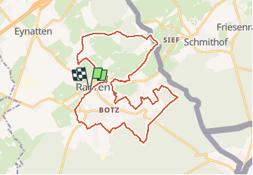

14,8 km | 17 km-effort


Usuario


Aplicación GPS de excursión GRATIS
 SityTrail
IGN / Institutos geográficos
SityTrail World
El mundo es suyo
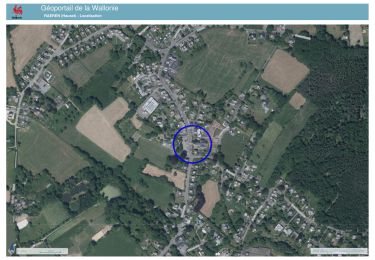
Ruta Senderismo de 21 km a descubrir en Valonia, Lieja, Raeren. Esta ruta ha sido propuesta por ChristianLallemand.
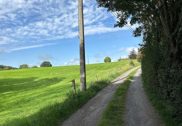
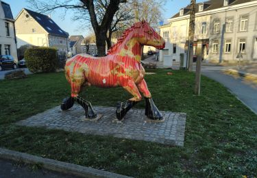
soit départ du parking près du cimetière de Raeren(Parkplatz Zentrum) - soit départ du parking en face du Bahnhof Café sur la Vehnbahn (agréable pour prendre un verre mais ouvert uniquement le week-end)

Senderismo
Senderismo

Senderismo
Senderismo
Senderismo

Senderismo

Senderismo