


19,7 km | 28 km-effort


Usuario


Aplicación GPS de excursión GRATIS
 SityTrail
IGN / Institutos geográficos
SityTrail World
El mundo es suyo
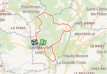
Ruta Senderismo de 15,2 km a descubrir en Auvergne-Rhône-Alpes, Loira, Saint-Martin-Lestra. Esta ruta ha sido propuesta por Migrounet42.
La croix de la sauteuse
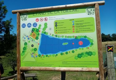
départ place de l'église 15,5 km entre plaine et monts 300m et 600m
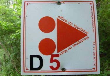
suivre lettre S jaune et blanc
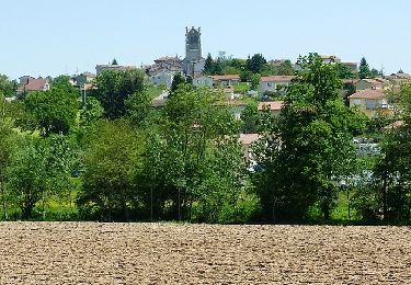
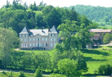
Ce circuit pédestre présente, en plus de différents points de vue sur les monts du lyonnais et les montagnes du matin, une perspective de toute part sur la flèche de l'église qui domine le panorama. au terme de cette rando se trouve la croix de la sauteuse qui fait l'objet d'une légende mystérieuse.
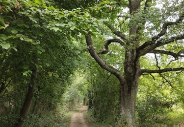
Senderismo
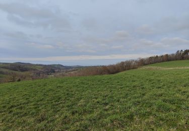
Senderismo

Senderismo
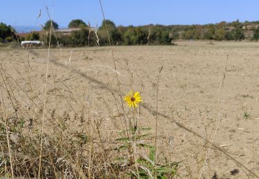
Senderismo
Senderismo

A pie
Bici de montaña
Bici de montaña
Bici de montaña