


12,1 km | 25 km-effort

Usuario


Aplicación GPS de excursión GRATIS
 SityTrail
IGN / Institutos geográficos
SityTrail World
El mundo es suyo
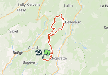
Ruta Bici de montaña de 28 km a descubrir en Auvergne-Rhône-Alpes, Alta Saboya, Onnion. Esta ruta ha sido propuesta por HG74250.
Variante de notre tour par le retour de La Glappaz par le Col du Cfreux et non pas vers la piste menant à La Fully.
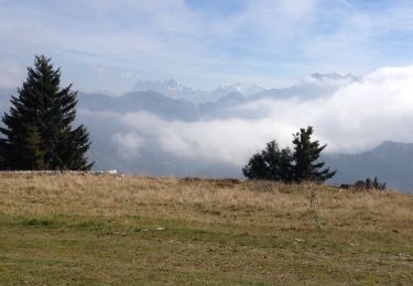
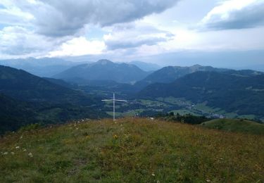
-N°9 - Tour d'Hirmentaz - 28 km 1065 m+ - Photo 1")
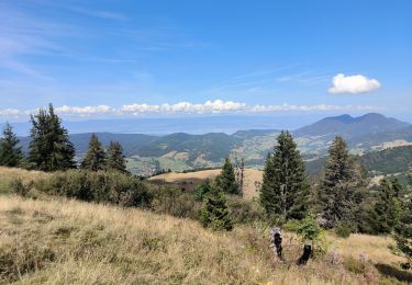
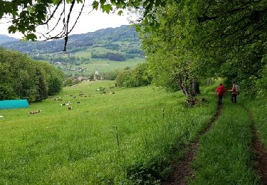
-N°9 - Tour d'Hirmentaz - 28 km 1065 m+ - Photo 2")
Senderismo

Senderismo
Senderismo
Senderismo
Senderismo
Senderismo
Senderismo
Senderismo
Senderismo