


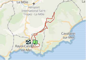

12,3 km | 19,2 km-effort

Usuario GUIDE


Aplicación GPS de excursión GRATIS
 SityTrail
IGN / Institutos geográficos
SityTrail World
El mundo es suyo
Ruta Senderismo de 14,8 km a descubrir en Provenza-Alpes-Costa Azul, Var, Rayol-Canadel-sur-Mer. Esta ruta ha sido propuesta por affinetataille.
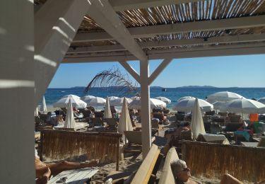
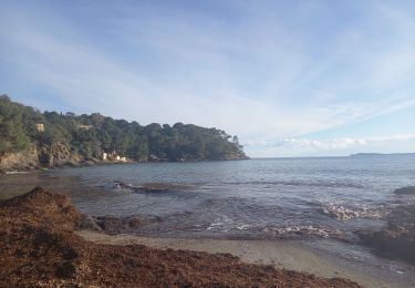
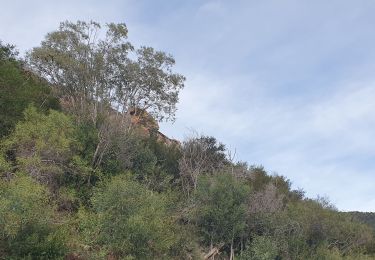
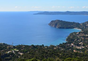
Belle boucle sur les crêtes du Rayol et de Cavalaire.
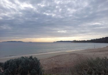
Vues sur le golfe de St Tropez et les Iles d'Hyères.


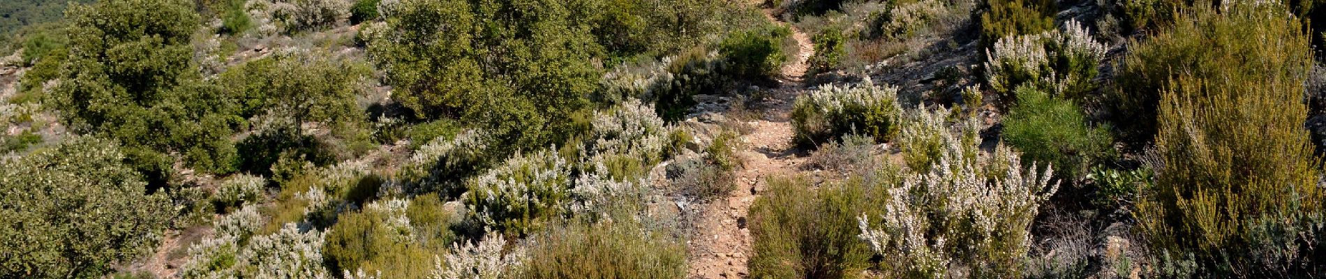
Senderismo

Senderismo
Senderismo
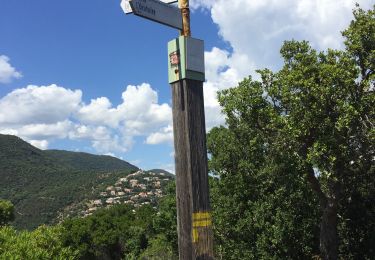
Senderismo
Senderismo
Bicicleta híbrida
Senderismo
Senderismo
Senderismo