


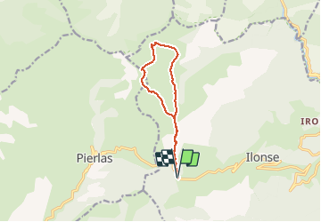

16,5 km | 31 km-effort

Usuario


Aplicación GPS de excursión GRATIS
 SityTrail
IGN / Institutos geográficos
SityTrail World
El mundo es suyo
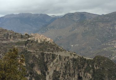
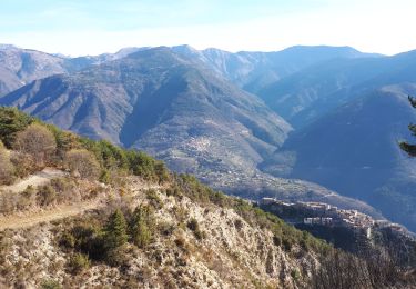
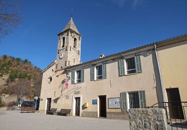
Ruta Senderismo de 10,8 km a descubrir en Provenza-Alpes-Costa Azul, Alpes Marítimos, Ilonse. Esta ruta ha sido propuesta por GrouGary.
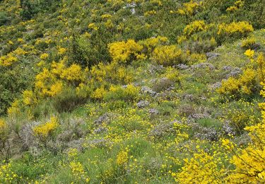
Circuit sans difficultés, même hors sentier. Trolles et Gentianes côté Nord.
Très beau sur crête mamelonnée


A pie

A pie
Senderismo
Raquetas de nieve
Senderismo
Senderismo

Senderismo
A pie
Senderismo