


10,7 km | 13,8 km-effort

Usuario


Aplicación GPS de excursión GRATIS
 SityTrail
IGN / Institutos geográficos
SityTrail World
El mundo es suyo
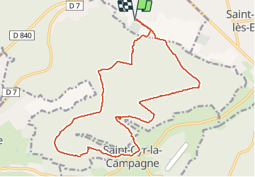
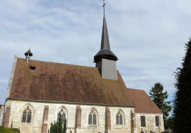
Ruta Senderismo de 10,5 km a descubrir en Normandía, Sena-Marítimo, Caudebec-lès-Elbeuf. Esta ruta ha sido propuesta por MichelRando7656.
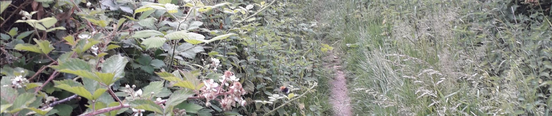
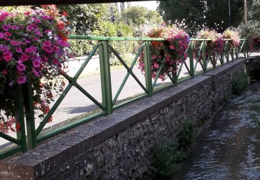
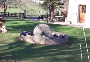
Principalement chemins forestiers et un beau village Saint Cyr la Campagne avec de superbes chaumières. Deux belles montées dont une dès le début du parcours.


Senderismo

Senderismo
Senderismo

Senderismo
Senderismo
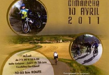
Bici de montaña

Senderismo
Senderismo
Senderismo