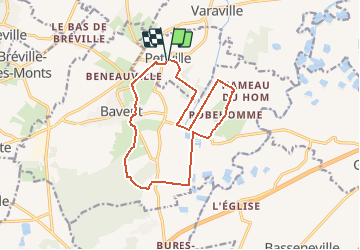

12,3 km | 13,2 km-effort


Usuario


Aplicación GPS de excursión GRATIS
 SityTrail
IGN / Institutos geográficos
SityTrail World
El mundo es suyo
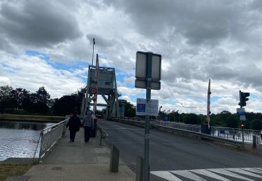
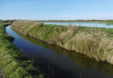
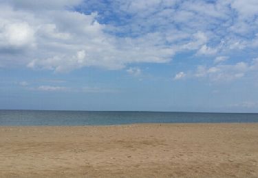
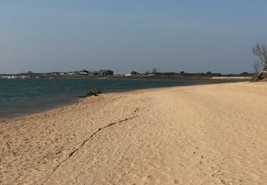
Ruta Senderismo de 13,2 km a descubrir en Normandía, Calvados, Petiville. Esta ruta ha sido propuesta por neitag61.
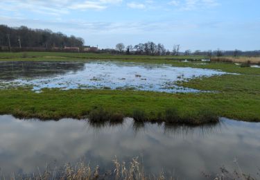
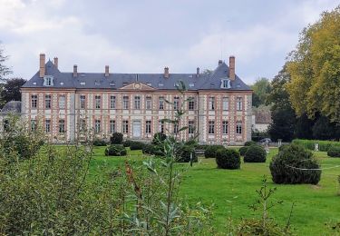
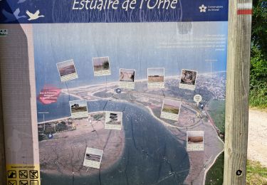
Cette balade vous emmène dans les marais de la Dives et de la Divette à la rencontre de son île : l'île de Robehomme seul promontoire au milieu des marais. La richesse de ces marais vous fera découvrir une faune et flore très riche.
Senderismo

Caballo
Senderismo
Bici de carretera
Senderismo
Senderismo
Carrera

Senderismo