


15,8 km | 31 km-effort

Usuario


Aplicación GPS de excursión GRATIS
 SityTrail
IGN / Institutos geográficos
SityTrail World
El mundo es suyo
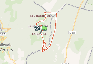
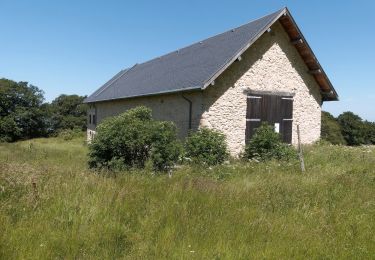
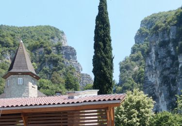
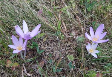
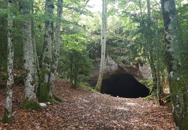
Ruta A pie de 6,9 km a descubrir en Auvergne-Rhône-Alpes, Isère, Malleval-en-Vercors. Esta ruta ha sido propuesta por crocau.
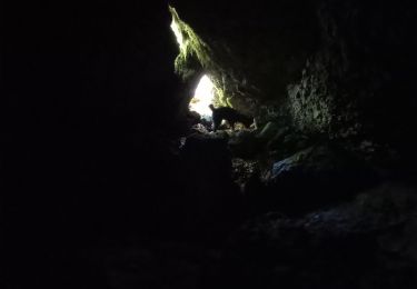
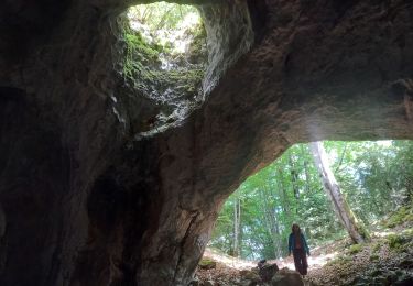
De la Ferme de La Caille, rejoindre le Col de Neurre puis traverser les prés puis les bois sous le Bec (très difficile). Sous le Bec on trouve une sente que l'on crapahute . La vue du Bec est imprenable.
On traverse les bois soit avec l'application , soit on longe les crêtes où l'on trouve un sentier. On rejoint alors le sentier officiel et le Pas du Follet ( joli point de vue) et on redescend à la Ferme.
 - Photo 1")
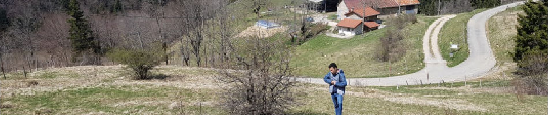
Senderismo

Senderismo
Senderismo
Senderismo
Senderismo
Senderismo
Senderismo
Senderismo
Senderismo