


12 km | 17,8 km-effort


Usuario


Aplicación GPS de excursión GRATIS
 SityTrail
IGN / Institutos geográficos
SityTrail World
El mundo es suyo
Ruta A pie de 14,1 km a descubrir en Provenza-Alpes-Costa Azul, Alpes Marítimos, Pégomas. Esta ruta ha sido propuesta por mjfscacrando.
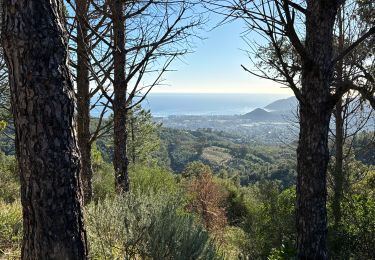
Au départ de Pégomas on longe la Siagne, viste d'Auribeau,point de vue sur l'arriere pays grassois au Peyre- gros,arrivé à Cabris .

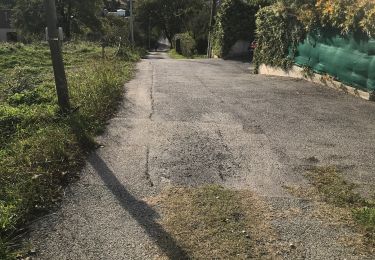
Senderismo

Senderismo

Senderismo

Senderismo

Senderismo


sport
sport
sport
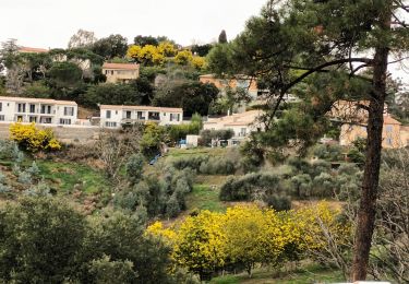
Senderismo