


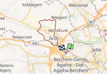

12,8 km | 15,1 km-effort

Usuario GUIDE


Aplicación GPS de excursión GRATIS
 SityTrail
IGN / Institutos geográficos
SityTrail World
El mundo es suyo
Ruta Senderismo de 10,8 km a descubrir en Région de Bruxelles-Capitale - Brussels Hoofdstedelijk Gewest, Desconocido, Berchem-Sainte-Agathe - Sint-Agatha-Berchem. Esta ruta ha sido propuesta por rvapeldo.
Un petit tour près de la maison, en ces temps de confinement. Par les chemins agricoles, les rues désertes (ou presque). Ai repéré les moutons que l’on aperçoit de temps à autre au bord du Ring, près de l’autoroute de la mer, comme une image venue de loin.


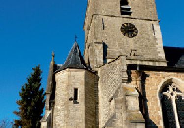
Senderismo
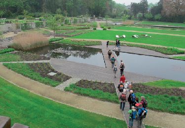
Senderismo

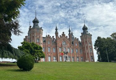
Senderismo
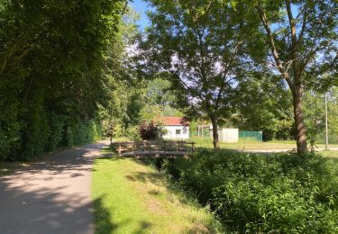
Senderismo
Senderismo

Senderismo
Senderismo
Senderismo
Senderismo