


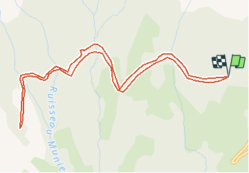

7,7 km | 13,8 km-effort

Usuario


Aplicación GPS de excursión GRATIS
 SityTrail
IGN / Institutos geográficos
SityTrail World
El mundo es suyo
Ruta Senderismo de 6,5 km a descubrir en Auvergne-Rhône-Alpes, Isère, Château-Bernard. Esta ruta ha sido propuesta por crocau.
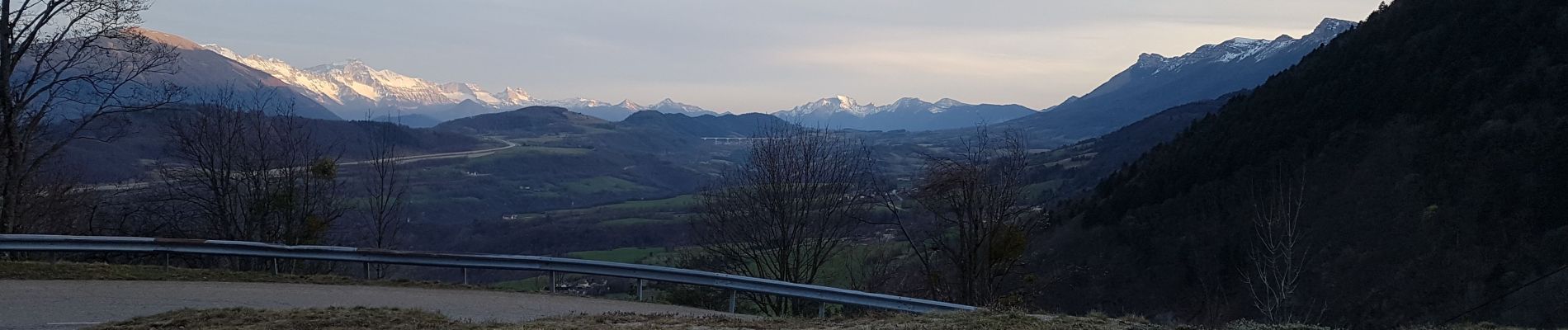
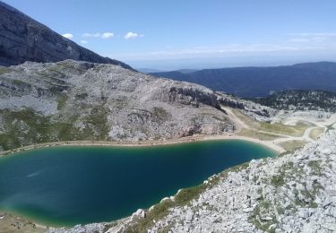
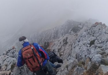
Une route forestière plate qui longe les falaises depuis les 2 Soeurs. On voit le Mont Aiguille, le Sénépi, l'Obiou...A refaire en vtt


Senderismo

Senderismo

Bici de montaña

Senderismo

Senderismo

Senderismo

Esquí de fondo
Senderismo
Senderismo