


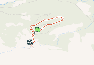


9,6 km | 17,9 km-effort


Usuario


Aplicación GPS de excursión GRATIS
 SityTrail
IGN / Institutos geográficos
SityTrail World
El mundo es suyo
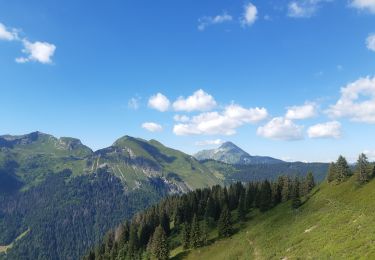
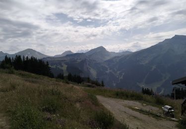
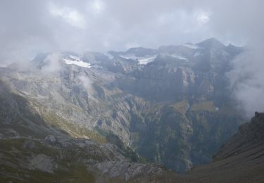
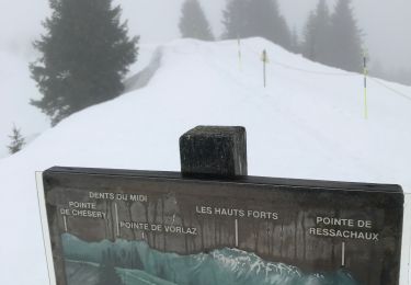
Ruta Senderismo de 3 km a descubrir en Vallés, Monthey, Champéry. Esta ruta ha sido propuesta por otchampery.
Le sentier forestier, läd sie zu einem Spaziergang im Wald von Barme ein. Auf dem Weg durchleben sie erneut den Orkan von 1962. Ausserdem werden sie das Holz und seine Feinde kennenlernen und erfahren welche Rolle der Bergwald für unsere Umwelt spielt.

Senderismo
Senderismo

A pie

Senderismo

Senderismo
Senderismo
A pie
Raquetas de nieve
Senderismo