


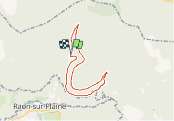

12,6 km | 16,9 km-effort


Usuario


Aplicación GPS de excursión GRATIS
 SityTrail
IGN / Institutos geográficos
SityTrail World
El mundo es suyo
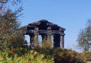
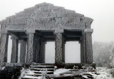
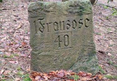
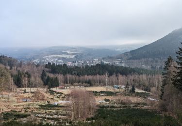
Ruta Senderismo de 6,5 km a descubrir en Gran Este, Bajo-Rin, Grandfontaine. Esta ruta ha sido propuesta por Le_Grand.
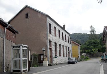
A Raon les l'eau prendre la direction de la voie romaine et stationner au carrefour de la maison forestière de Vindhek aller vers la maison St Pierre
puis retour par la route de la Malcote et la route goudronnée qui redescend au village de Raon les l'eau

Senderismo

Senderismo
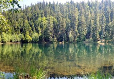
Senderismo
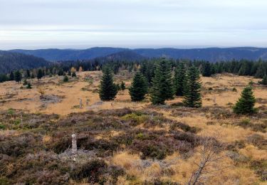
Senderismo
A pie
Senderismo
Senderismo
Senderismo
Senderismo