


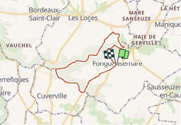


11,4 km | 13,1 km-effort


ensemble sur les chemins


Aplicación GPS de excursión GRATIS
 SityTrail
IGN / Institutos geográficos
SityTrail World
El mundo es suyo
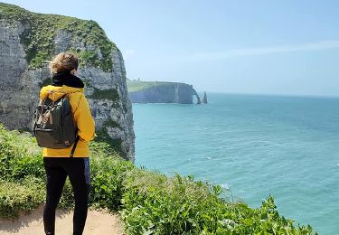
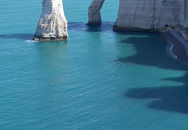
Ruta A pie de 11,4 km a descubrir en Normandía, Sena-Marítimo, Fongueusemare. Esta ruta ha sido propuesta por AACLARANDO.
petites routes et chemins dans la foret.

Senderismo
Senderismo
Senderismo
Senderismo
Senderismo
Senderismo
Senderismo
Marcha nórdica
Senderismo