


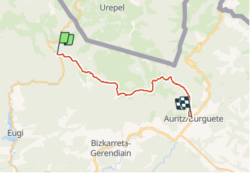

12,9 km | 21 km-effort


Usuario


Aplicación GPS de excursión GRATIS
 SityTrail
IGN / Institutos geográficos
SityTrail World
El mundo es suyo
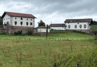
Ruta Senderismo de 17,3 km a descubrir en Navarra, Desconocido, Baztán. Esta ruta ha sido propuesta por phelan.
Distance/elevation: 17,5 km / ( 720 m), (-735 m)
Time: 5h05min (walking time without stops).
Difficulty: medium-easy. This is not a long stage and the paths are generally comfortable for walking. Waymarking is good, and except for the ascent from Sorogain to Mendiaundi in foggy conditions, you will have no difficulty following the markings for this stage.
Senderismo
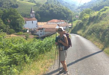
A pie
Senderismo
Senderismo
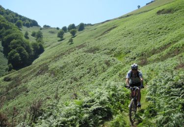
Bici de montaña
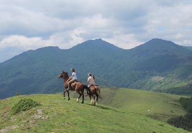
Caballo

Carrera

Bici de montaña
Paseo ecuestre