


12,6 km | 21 km-effort

Usuario


Aplicación GPS de excursión GRATIS
 SityTrail
IGN / Institutos geográficos
SityTrail World
El mundo es suyo
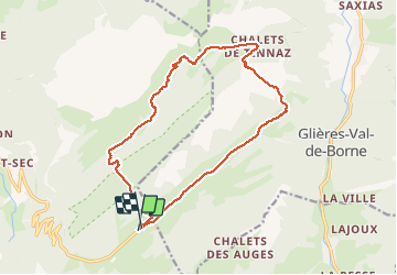
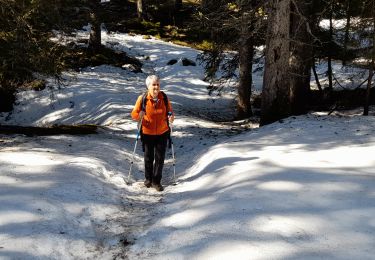
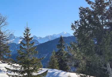
Ruta Raquetas de nieve de 16,7 km a descubrir en Auvergne-Rhône-Alpes, Alta Saboya, Fillière. Esta ruta ha sido propuesta por Parodie69.
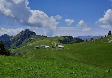
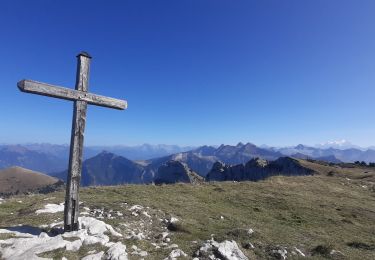
randonnée du tour des montagnes des Frêtes par le champs laitier puis le col de l'Ebat et le col de Spée retour par la mandrolière. Belles randonnée sauvage


Senderismo

Senderismo

Senderismo
Senderismo
Senderismo
Senderismo
Senderismo
Senderismo
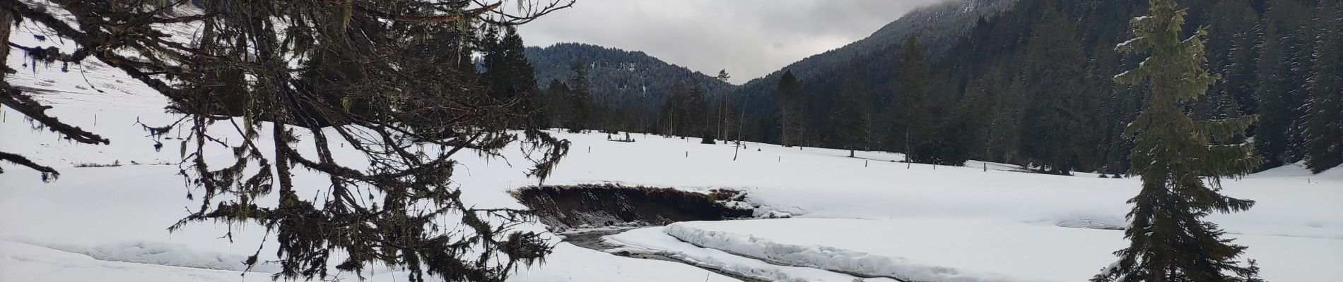
Raquetas de nieve