


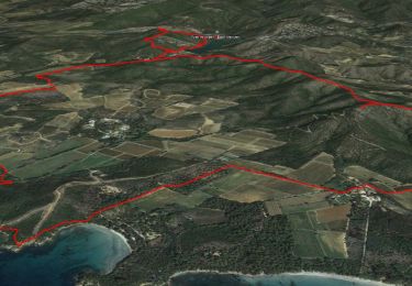
14 km | 22 km-effort

Usuario


Aplicación GPS de excursión GRATIS
 SityTrail
IGN / Institutos geográficos
SityTrail World
El mundo es suyo
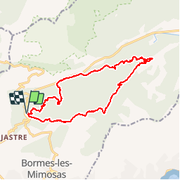
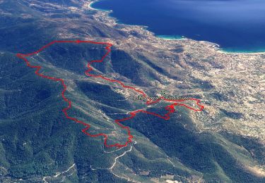
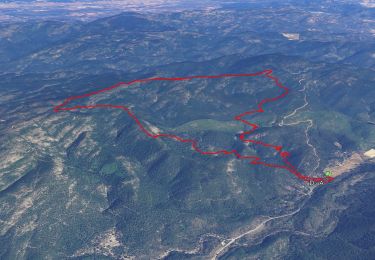
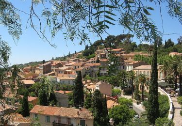
Ruta Carrera de 16 km a descubrir en Provenza-Alpes-Costa Azul, Var, Bormes-les-Mimosas. Esta ruta ha sido propuesta por will83.
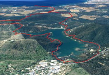
Rando course (02h00) pour entrainement trail
(16Kms - 600m de dénivelée)
Forte montée au tout début permettant un parfait échauffement, puis vous pouvez commencer à courir sur le plateau. Ne ratez pas le petit sentier au km 3,5. Vous allez descendre ensuite sur de magnifiques sentiers et pistes. Vous revenez au niveau de la route, nouvelle montée dans le Vallon de Fumas, puis la superbe piste finale après la traversée d'une châtaigneraie. Bon amusement ! (stationnement facile au Col de Gratteloup)
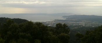
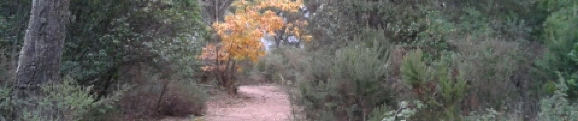
 - Photo 1")
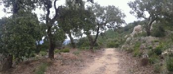
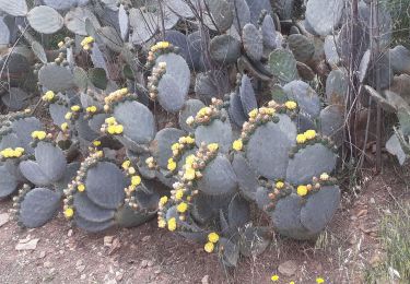
 - Photo 2")
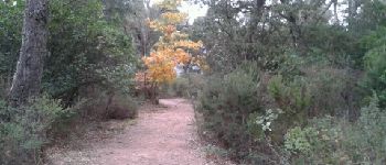
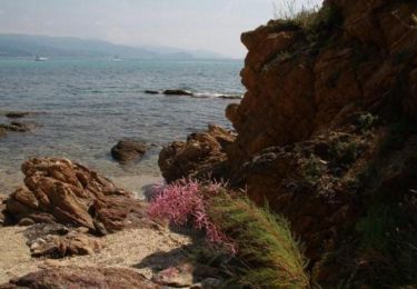
 - Photo 3")

Senderismo
Senderismo
Senderismo

Senderismo
Senderismo
Senderismo
Senderismo
Senderismo
Senderismo