


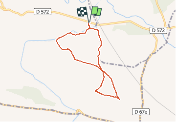

6,9 km | 8,5 km-effort


Usuario


Aplicación GPS de excursión GRATIS
 SityTrail
IGN / Institutos geográficos
SityTrail World
El mundo es suyo
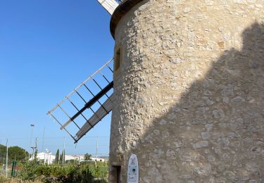
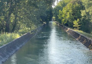
Ruta Senderismo de 7,3 km a descubrir en Provenza-Alpes-Costa Azul, Bocas del Ródano, La Barben. Esta ruta ha sido propuesta por gabyschmidt.
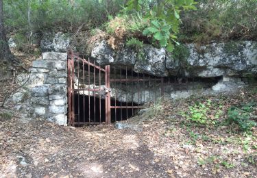
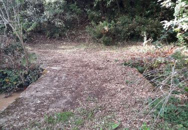
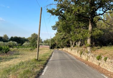
Randonnée facile sur de larges sentiers. A éviter par temps chaud car peu ombragée.
Senderismo

Senderismo
Senderismo
Senderismo
Senderismo
Senderismo
Senderismo
Senderismo
Senderismo