


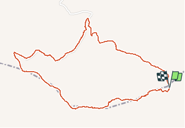

5,4 km | 9,5 km-effort

Usuario


Aplicación GPS de excursión GRATIS
 SityTrail
IGN / Institutos geográficos
SityTrail World
El mundo es suyo
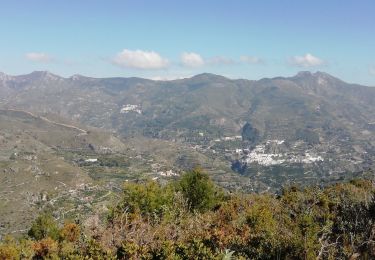
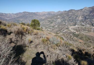
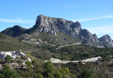
Ruta A pie de 3,4 km a descubrir en Andalucía, Granada, Almuñécar. Esta ruta ha sido propuesta por jpipacific.
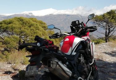
Cette randonnée est physiquement plus facile dans ce sens.
De plus le départ est plus facile d’accès. Attention il vaut mieux quand même avoir une voiture 4X4 ou moto Trail; ou marcher à partir de plus bas.

Senderismo
Senderismo
Senderismo
Motocross
Senderismo
Senderismo
Senderismo

Senderismo