


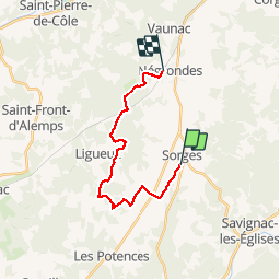

10,5 km | 13,4 km-effort


Usuario


Aplicación GPS de excursión GRATIS
 SityTrail
IGN / Institutos geográficos
SityTrail World
El mundo es suyo
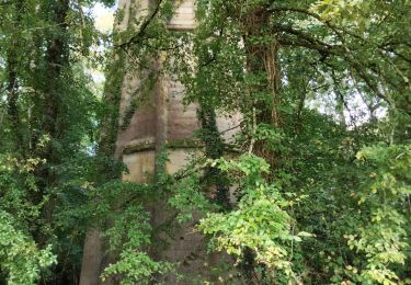
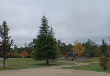
Ruta Senderismo de 17,1 km a descubrir en Nueva Aquitania, Dordogne, Sorges et Ligueux en Périgord. Esta ruta ha sido propuesta por YV24.
ATTENTION circuit en ligne, balisé seulement en partie. Parcours assez ombragé, praticable en tout temps.


sport

Senderismo
Senderismo
Senderismo
Senderismo

Senderismo
Senderismo
Senderismo
Senderismo
ar
ar