


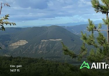
94 km | 136 km-effort


Usuario


Aplicación GPS de excursión GRATIS
 SityTrail
IGN / Institutos geográficos
SityTrail World
El mundo es suyo
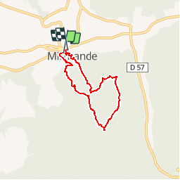
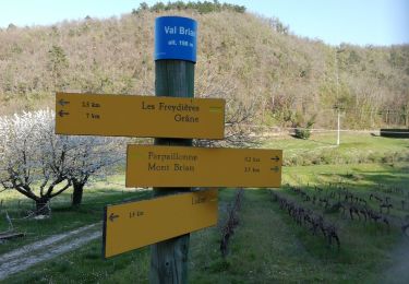
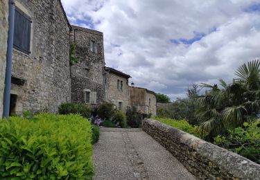
Ruta Senderismo de 5,7 km a descubrir en Auvergne-Rhône-Alpes, Drôme, Mirmande. Esta ruta ha sido propuesta por bob2023.
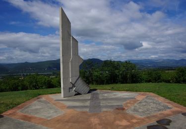
Sympathique balade. Dénivelé moyen. Beau point de vue sur la vallée du Rhône, avec arrivée dans le très joli village de Mirmande. Une belle randonnée d'après-midi.

Motor
Senderismo
Senderismo
Senderismo
Senderismo
Senderismo
Senderismo
Senderismo
Senderismo