


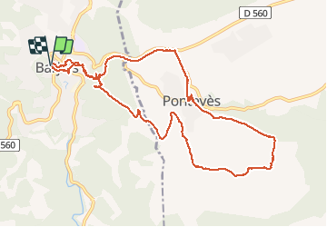

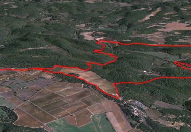
11,1 km | 17,3 km-effort

Usuario


Aplicación GPS de excursión GRATIS
 SityTrail
IGN / Institutos geográficos
SityTrail World
El mundo es suyo
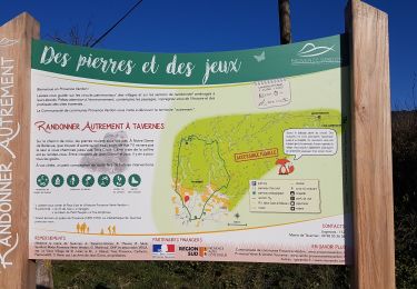
Ruta Senderismo de 11,8 km a descubrir en Provenza-Alpes-Costa Azul, Var, Barjols. Esta ruta ha sido propuesta por chrifor.
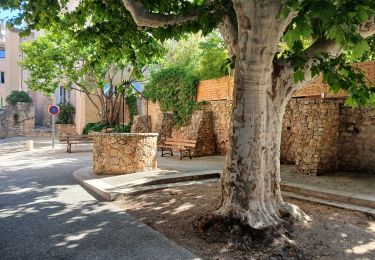
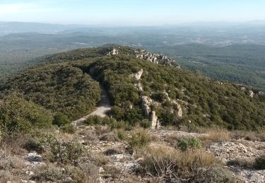
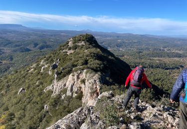
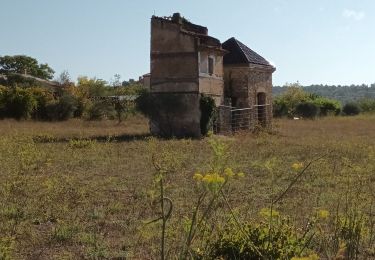
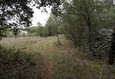
Les fontaines de Barjols, les cascades et plans d'eau du vallon des Carmes, la chapelle troglodytique, la montée au Bessillon (vue superbe par temps clair), les ruines du château de Pontévès...en font une agréable rando.


Senderismo
Senderismo
Senderismo
Senderismo
A pie
Senderismo
Senderismo
Senderismo
Senderismo