

le tour du Pieu depuis le pont du Batou

cmarit
Usuario

Longitud
12,1 km

Altitud máxima
888 m

Desnivel positivo
659 m

Km-Effort
21 km

Altitud mínima
445 m

Desnivel negativo
658 m
Boucle
Sí
Fecha de creación :
2020-01-31 08:40:19.884
Última modificación :
2020-01-31 16:08:29.664
5h19
Dificultad : Medio

Aplicación GPS de excursión GRATIS
A propósito
Ruta Senderismo de 12,1 km a descubrir en Auvergne-Rhône-Alpes, Isère, Saint-Paul-de-Varces. Esta ruta ha sido propuesta por cmarit.
Descripción
Journée idéale pour ce tour, il fait très doux pour la saison (16°à Grenoble et il a dû pleuvoir à Chamrousse cette nuit!)
Belle boucle tranquille sans personne à l'horizon !
Localización
País:
France
Región :
Auvergne-Rhône-Alpes
Departamento/provincia :
Isère
Municipio :
Saint-Paul-de-Varces
Localidad:
Unknown
Salida:(Dec)
Salida:(UTM)
707209 ; 4993198 (31T) N.
Comentarios
Excursiones cerca
villard col des 2 soeurs


Senderismo
Medio
(1)
Villard-de-Lans,
Auvergne-Rhône-Alpes,
Isère,
France

7,7 km | 13,8 km-effort
2h 45min
Sí
Le Plateau du Cornafion 1906m


Senderismo
Difícil
(1)
Villard-de-Lans,
Auvergne-Rhône-Alpes,
Isère,
France

7,8 km | 17,7 km-effort
4h 30min
Sí
lac de Moucherolle par les liapaz


Senderismo
Difícil
Villard-de-Lans,
Auvergne-Rhône-Alpes,
Isère,
France

7,2 km | 12,9 km-effort
3h 11min
Sí
38 pas oeille balcon est col vert


Senderismo
Medio
Villard-de-Lans,
Auvergne-Rhône-Alpes,
Isère,
France

15 km | 25 km-effort
7h 4min
No
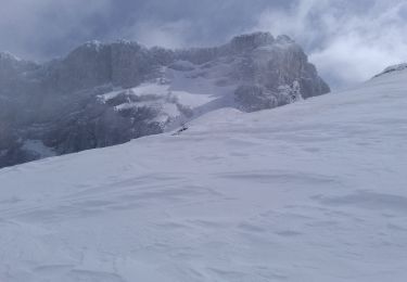
Ric du Cornafion et Rocher de l'ours


Esquí de fondo
Medio
Villard-de-Lans,
Auvergne-Rhône-Alpes,
Isère,
France

10,2 km | 24 km-effort
5h 24min
Sí
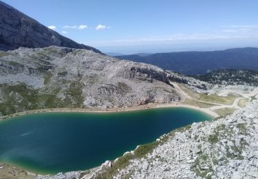
La petite sœur Sophie


Senderismo
Difícil
Villard-de-Lans,
Auvergne-Rhône-Alpes,
Isère,
France

8 km | 15,7 km-effort
4h 23min
Sí

caba


Senderismo
Muy fácil
(1)
Claix,
Auvergne-Rhône-Alpes,
Isère,
France

8,7 km | 16,6 km-effort
5h 2min
Sí
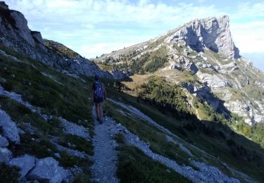
Le balcon du pic Saint Michel Par la grotte des pouliches


Senderismo
Difícil
Claix,
Auvergne-Rhône-Alpes,
Isère,
France

14,5 km | 31 km-effort
8h 0min
Sí
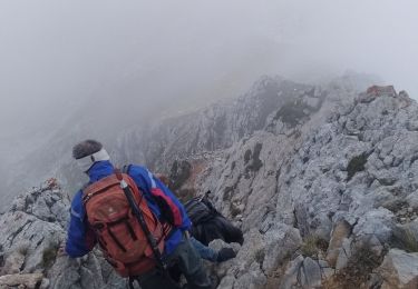
la grande moucherolle Agathe et Sophie


Senderismo
Difícil
Villard-de-Lans,
Auvergne-Rhône-Alpes,
Isère,
France

11,8 km | 25 km-effort
7h 8min
No


 SityTrail


