


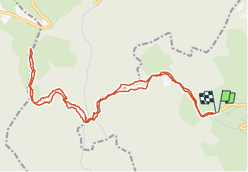

6,2 km | 13,3 km-effort


Usuario


Aplicación GPS de excursión GRATIS
 SityTrail
IGN / Institutos geográficos
SityTrail World
El mundo es suyo
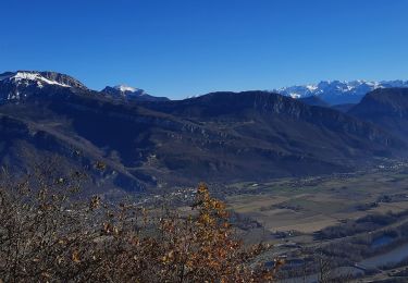
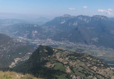
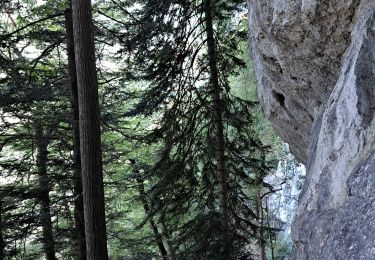
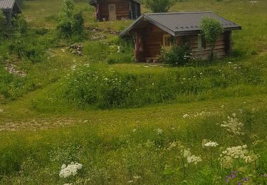
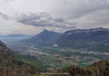
Ruta Senderismo de 6,5 km a descubrir en Auvergne-Rhône-Alpes, Isère, Noyarey. Esta ruta ha sido propuesta por crocau.
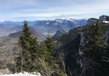
aller retour avec retour en montée..
intéressante pour vtt ou pour être récupéré à Montaud ou redescendre en vélo.


Senderismo
Raquetas de nieve
Senderismo
Senderismo
Senderismo
Senderismo
Senderismo
Senderismo
Senderismo
aller retour et retour en montée... arrivée à Montaud sans intérêt hormis si on est en VTT prêt à redescendre côté st Gervais