


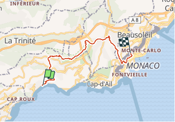

10,9 km | 14 km-effort

Usuario


Aplicación GPS de excursión GRATIS
 SityTrail
IGN / Institutos geográficos
SityTrail World
El mundo es suyo
Ruta Senderismo de 12,5 km a descubrir en Provenza-Alpes-Costa Azul, Alpes Marítimos, Èze. Esta ruta ha sido propuesta por coriace.
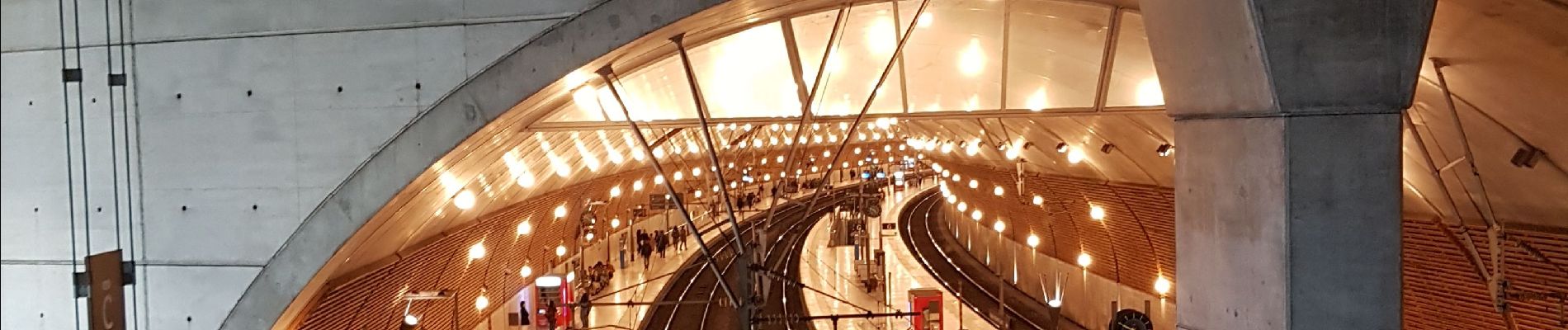
Rando départ gare de Eze. Arrivée gare de Monaco avec Cyril, Vianney, Juliette, Martin, Nat et Bibi


Senderismo

Senderismo

Senderismo

A pie

Senderismo

Otra actividad

Senderismo
Senderismo
Senderismo
panorama sublime