


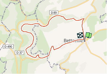


8,7 km | 11,5 km-effort

Club Rando Saint-Paër


Aplicación GPS de excursión GRATIS
 SityTrail
IGN / Institutos geográficos
SityTrail World
El mundo es suyo
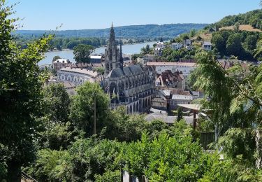
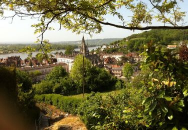
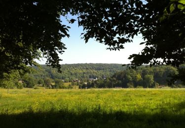
Ruta Senderismo de 8,9 km a descubrir en Normandía, Sena-Marítimo, Saint-Martin-de-l'If. Esta ruta ha sido propuesta por BOUSSOLE ET SAC A DOS.
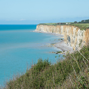
Randonnée assez facile
Cotation d'effort : 2/5

Senderismo
Senderismo

Senderismo
Bici de montaña
Senderismo
Senderismo
Senderismo

Senderismo
Senderismo