


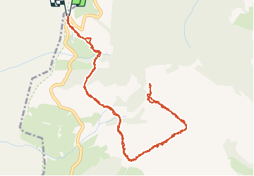

14,5 km | 25 km-effort


Usuario


Aplicación GPS de excursión GRATIS
 SityTrail
IGN / Institutos geográficos
SityTrail World
El mundo es suyo
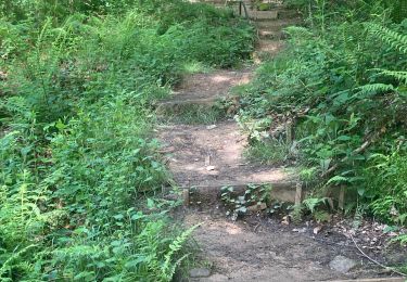
Ruta Senderismo de 7,3 km a descubrir en Navarra, Desconocido, Baztán. Esta ruta ha sido propuesta por pacha56.
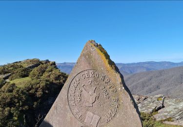
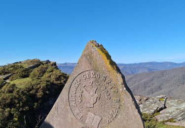
Randonnée facile, avec belles vues sur la Rhune, Côte Basque. Un cromlech et menhir au départ du chemin de croix.
Senderismo
Senderismo
Senderismo
Senderismo
Senderismo
Senderismo

Senderismo
Senderismo