


18,8 km | 26 km-effort


Usuario


Aplicación GPS de excursión GRATIS
 SityTrail
IGN / Institutos geográficos
SityTrail World
El mundo es suyo
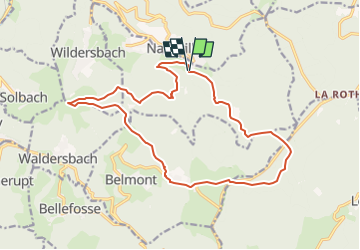
Ruta A pie de 16,9 km a descubrir en Gran Este, Bajo-Rin, Neuviller-la-Roche. Esta ruta ha sido propuesta por vaillantjm.
Se garer sur le parking tout en haut de Natzwiller, au début de la route forestière.
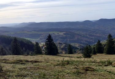
Principalement en sous-bois, sauf la traversée du Champ du Feu et le col de la Pehreux. Seul le sentier des Roches au retour, peu avant Natzwiller, est un peu délicat.

Paseo ecuestre

Senderismo

Senderismo

Senderismo
Paseo ecuestre
Senderismo
Paseo ecuestre

Paseo ecuestre
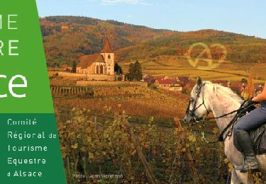
Paseo ecuestre