


10,6 km | 13,7 km-effort

Usuario


Aplicación GPS de excursión GRATIS
 SityTrail
IGN / Institutos geográficos
SityTrail World
El mundo es suyo
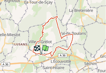
Ruta Senderismo de 14,1 km a descubrir en Borgoña-Franco Condado, Doubs, Le Puy. Esta ruta ha sido propuesta por eltonnermou.
13,8km réel
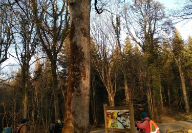
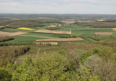
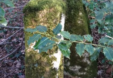
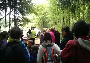
randonnée dans les bois entre Le Puy, Val de Roulans, en passant par le mont Bichoux Villers Grélot. On profite des éoliennes et de leur léger bruit.


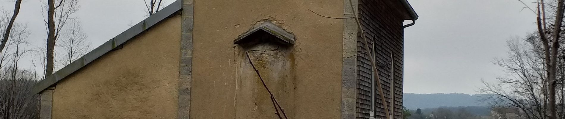
Senderismo
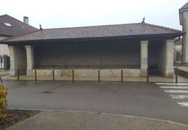
Senderismo
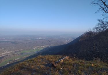
Senderismo
Senderismo
Senderismo
Senderismo
Senderismo
Senderismo

Senderismo