


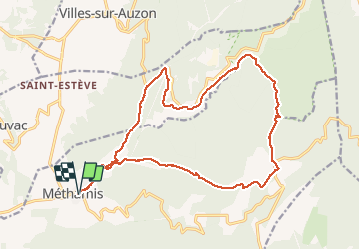

22 km | 31 km-effort

Usuario


Aplicación GPS de excursión GRATIS
 SityTrail
IGN / Institutos geográficos
SityTrail World
El mundo es suyo
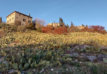
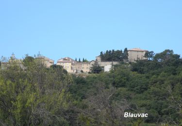
Ruta Senderismo de 21 km a descubrir en Provenza-Alpes-Costa Azul, Vaucluse, Méthamis. Esta ruta ha sido propuesta por FLORENSAC.
Départ parking derrière l'école primaire
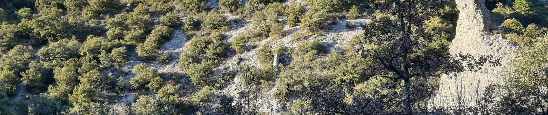
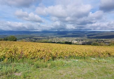
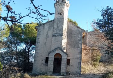
une jolie randonnée
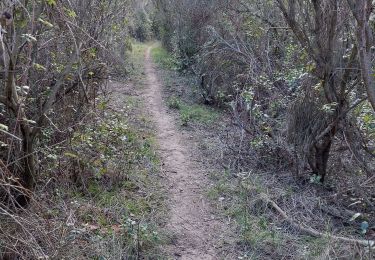
sans difficultés particulières
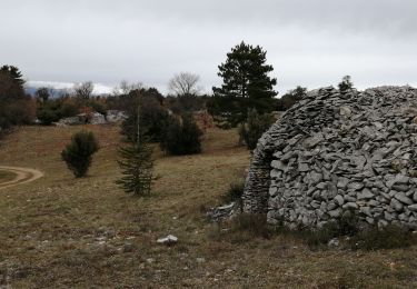
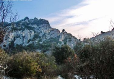
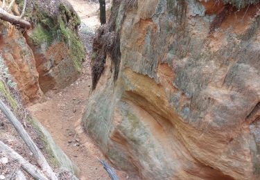
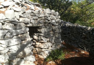
retour dans la caillasse comme on dit chez nous


Senderismo
Senderismo
Senderismo
Senderismo
Senderismo
Senderismo
Senderismo
Senderismo
Senderismo