


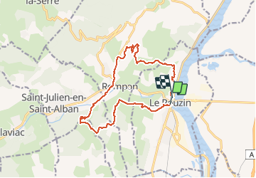

15,3 km | 24 km-effort


Usuario


Aplicación GPS de excursión GRATIS
 SityTrail
IGN / Institutos geográficos
SityTrail World
El mundo es suyo
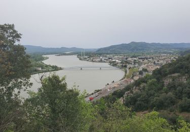
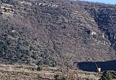
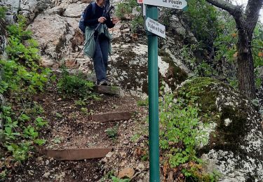
Ruta A pie de 15,4 km a descubrir en Auvergne-Rhône-Alpes, Ardecha, Le Pouzin. Esta ruta ha sido propuesta por Chamois30.
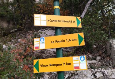
Boucle Le Pouzin - Château de Saint Alban - Rompon (les fonts du Pouzin) _ Vieux Rompon (pour éviter un propriétaire qui refuse le droit de passage par les Tombes)- Couvent des Chèvres ruiné.
(5H hors pauses et pic-nique)
Senderismo

Senderismo

Senderismo
Senderismo
Senderismo
Senderismo
Senderismo

Senderismo
Senderismo