


7,9 km | 11,2 km-effort

Usuario


Aplicación GPS de excursión GRATIS
 SityTrail
IGN / Institutos geográficos
SityTrail World
El mundo es suyo
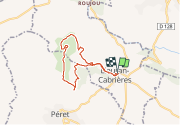
Ruta Senderismo de 7,4 km a descubrir en Occitania, Hérault, Lieuran-Cabrières. Esta ruta ha sido propuesta por mdauzat.
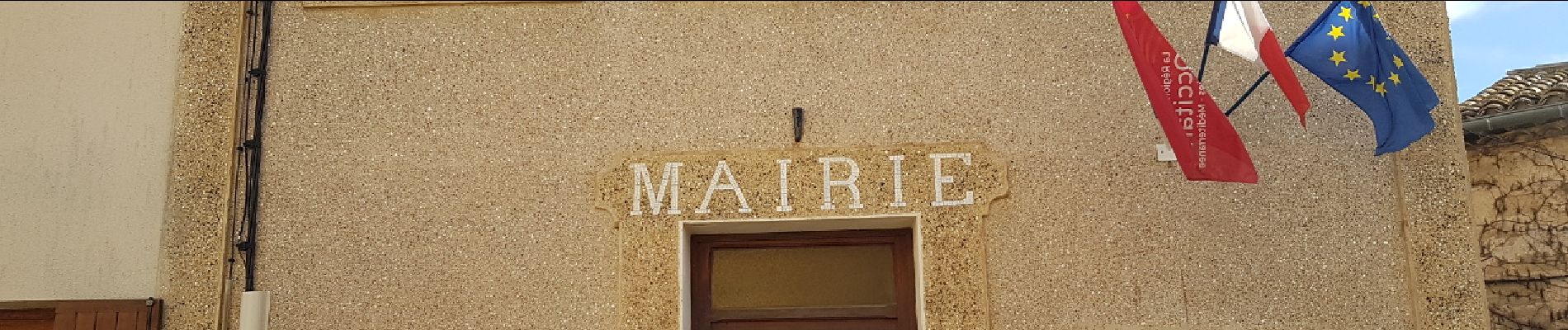
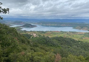
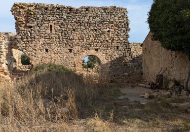
Une petite aire de stationnement est disponible à l'entrée du village de Lieuran-Cabrières. A partir de cette aire, le parcours (balisé en jaune) traverse d'abord le village (la mairie, la chapelle, puis le cimetière) avant de s'élever par un sentier caillouteux jusqu'au plateau, où il rejoint une large piste. Celle-ci permet de faire le tour de ce relief d'origine volcanique, en direction de Maluber, puis de Mougno. Le long de ce cheminement, plusieurs "balcons" permettent de profiter d'une vue exceptionnelle, dans toutes les directions. En ce début d'hiver, au sud, la mer brille d'un éclat aveuglant. A l'est, on peut admirer le mont Liausson et le pic Saint-Loup. Vers le nord, le pic de Vissou... Un soleil très généreux compense les effets d'un vent vigoureux, plus sensible sur le plateau. Le chemin redescend ensuite vers le village, offrant encore de superbes points de vue.


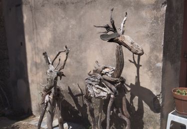
23 fotos en total. Haga clic en una foto para mostrarlas todas en la galería.

Marcha nórdica
Senderismo
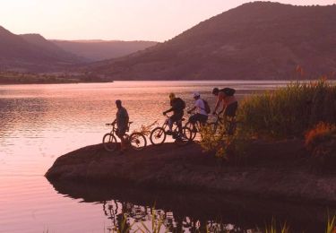
Bici de montaña
Senderismo

Senderismo


sport
Senderismo
Senderismo