


14,2 km | 29 km-effort

Usuario


Aplicación GPS de excursión GRATIS
 SityTrail
IGN / Institutos geográficos
SityTrail World
El mundo es suyo
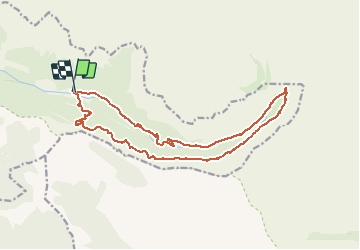
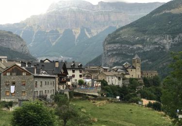
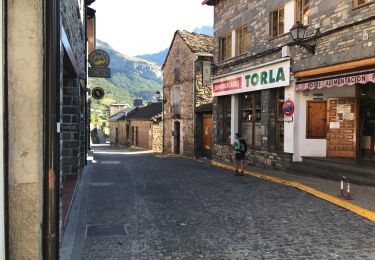
Ruta A pie de 18,2 km a descubrir en Aragón, Huesca, Torla-Ordesa. Esta ruta ha sido propuesta por ETMU5496.
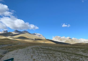
Un somptueux parcours qui nous fait traverser la vallée d'Ordesa et son splendide canyon en cheminant sur le chemin en balcon de la Faja de Pelay.
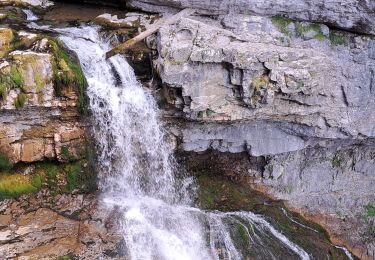
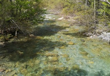
Au coeur du canyon de Ordesa, le sentier du retour bordant le Rio Arazas et ses magnifiques cascades est un émerveillement des tous les instants.
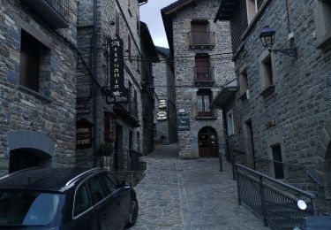
En pratique, stationner au grand parking de Torla. Rejoindre par la navette le parking de la Pradera départ de la randonnée
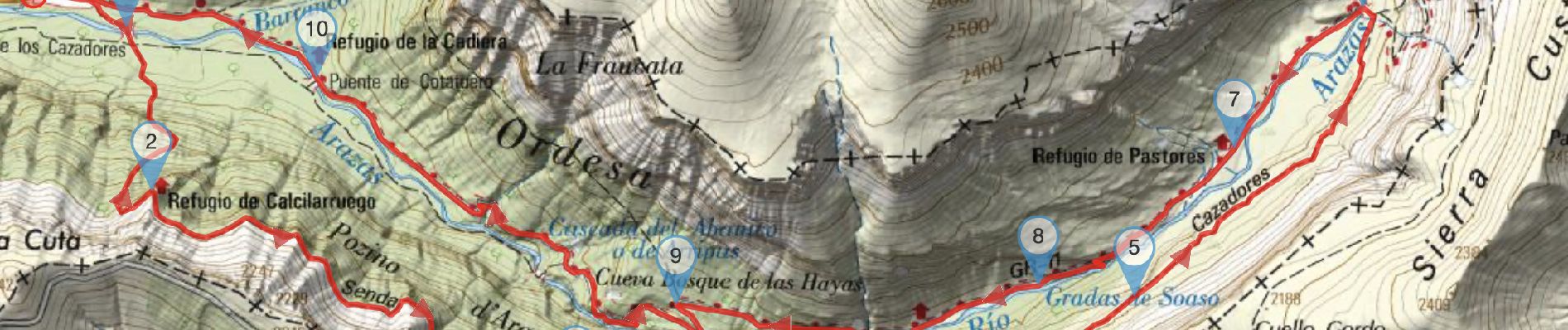
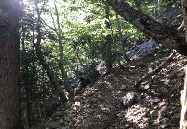
À la sortie du pont retrouver le GR®11, nommé aussi Senda de los Cazadores (sentier des chasseurs)

Senderismo
Senderismo
Senderismo
Senderismo
Senderismo
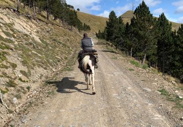
Paseo ecuestre
Senderismo
Paseo ecuestre