


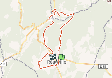

10,3 km | 14,1 km-effort

Usuario GUIDE


Aplicación GPS de excursión GRATIS
 SityTrail
IGN / Institutos geográficos
SityTrail World
El mundo es suyo
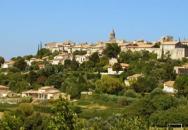
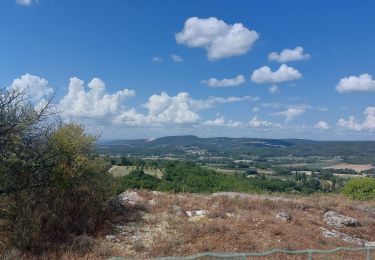
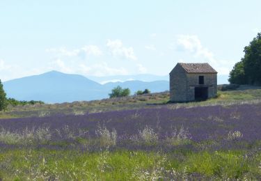
Ruta Senderismo de 8,8 km a descubrir en Auvergne-Rhône-Alpes, Drôme, Réauville. Esta ruta ha sido propuesta por thonyc.
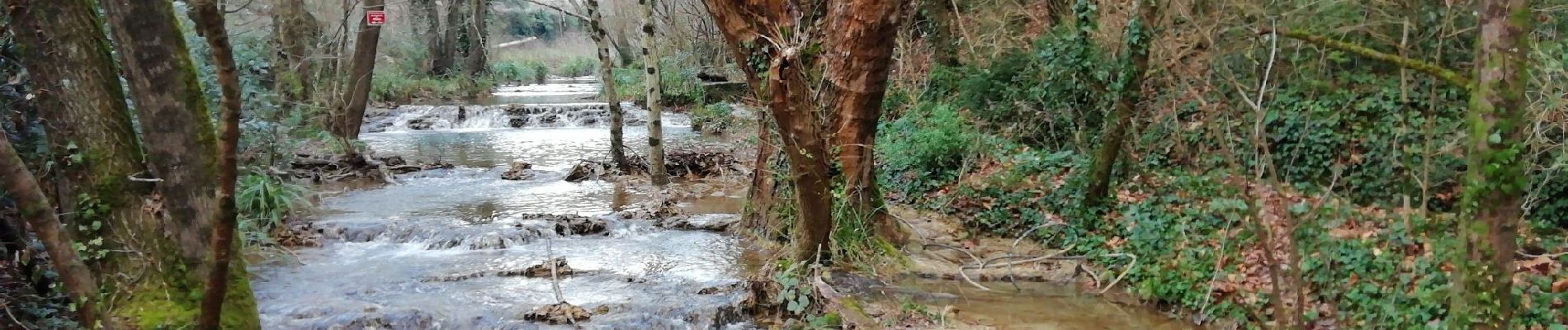
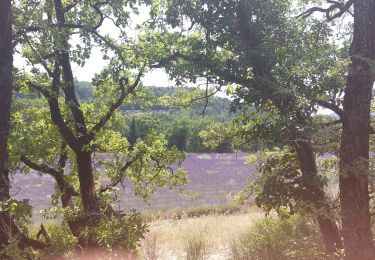
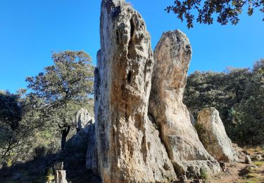
Jolie Rando, rocher de la Vierge, ruine chapelle de la famille sacrée, jolies cascades, sentier botanique, et stèle du Premier Soldat de France .


Senderismo
Senderismo
Senderismo
Senderismo
Senderismo

Senderismo

Senderismo
Senderismo
Senderismo