


6,7 km | 7,3 km-effort


Usuario


Aplicación GPS de excursión GRATIS
 SityTrail
IGN / Institutos geográficos
SityTrail World
El mundo es suyo
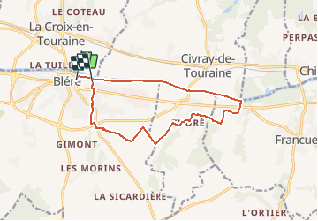
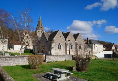
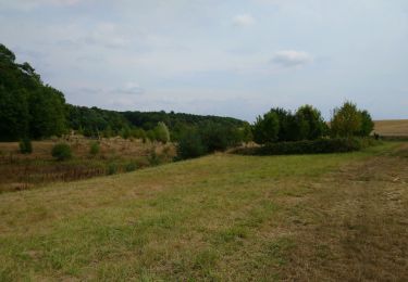
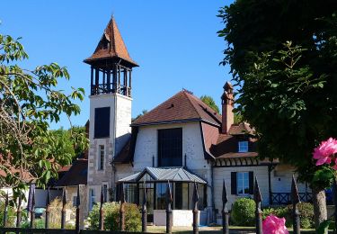
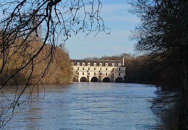
Ruta Senderismo de 12,7 km a descubrir en Centro, Indre y Loira, Bléré. Esta ruta ha sido propuesta por LEMENIO.
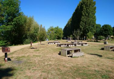
Départ depuis le terrain de camping. Vers la fin du parcours (voir balise sur carte)après le pont, monter le petit escalier du talus sur la gauche du pont.

Senderismo
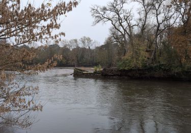
Senderismo
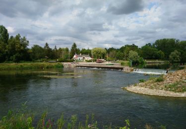
Senderismo
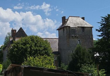
Senderismo
Senderismo
Senderismo
Senderismo
Senderismo
Senderismo